Karlshöfen - Karlshoefen
Airport details
| Country | Germany |
| State | Lower Saxony |
| Region | ED |
| Airspace | Bremen Ctr |
| Municipality | Gnarrenburg |
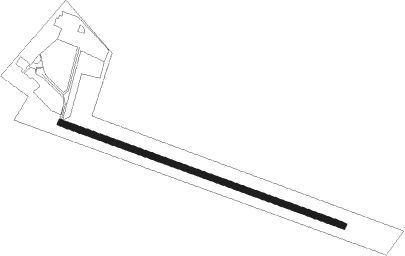
| Elevation | 20ft (6m) |
| Timezone | GMT +1 |
| Coordinates | 53.33267, 9.02783 |
| Magnetic var | |
| Type | land |
| Available since | X-Plane v10.40 |
| ICAO code | EDWK |
| IATA code | n/a |
| FAA code | n/a |
Communication
| Karlshoefen Karlshoefen Info | 118.925 |
Nearby Points of Interest:
Stalag X-B
-Wassermühle Bademühlen
-Dammgut
-Alte Posthalterei
-St. Margarethen (Gyhum)
-St.-Marien-Kirche (Trupe)
-Wikingborg
-Christophorus-Kirche
-Burg Clüversborstel
-Haus Weyhausen
-Wohnhaus Oberneulander Landstraße 141A
-Schmiede Oberneuland und Wohnhaus
-Haus Schumacher
-Landhaus Böving
-Villa Leupold
-Landsitz Caesar-Ichon
-Haus Weltmann
-Landgut Arndt-Soltmann
-Haus Hoogenkamp
-Landhaus Louisenthal
-Wohnhaus Lindenweg 12
-Brinksitzerhaus
-Gaststätte Meyer am Boom
-Haus Bätjer
-Landhaus Waldthausen
Nearby beacons
| code | identifier | dist | bearing | frequency |
|---|---|---|---|---|
| WSN | WESER NDB | 5.5 | 275° | 378 |
| HIG | BREMEN NDB | 17.5 | 203° | 318 |
| BND | DME | 19.4 | 220° | 113.65 |
| BMN | BREMEN VOR/DME | 19.7 | 223° | 117.45 |
| NDO | NORDHOLZ NDB | 28.3 | 334° | 372 |
| NDO | NORDHOLZ TACAN | 29.4 | 319° | 117.10 |
| ALF | DME | 39 | 73° | 115.80 |
| NIE | NIENBURG VOR | 44.2 | 154° | 116.50 |
| DP | DIEPHOLZ NDB | 49.1 | 218° | 325 |
| WUN | WUNSTORF TACAN | 54.6 | 155° | 114.85 |
| HW | HANNOVER NDB | 55.1 | 149° | 358 |
| HAD | DME | 57.2 | 142° | 113.95 |
| HBD | DME | 57.4 | 144° | 116.90 |
| HA | HANNOVER NDB | 59.2 | 138° | 320 |
| HNT | HOHN TACAN | 61.4 | 28° | 115.30 |
| HN | HOHN NDB | 63.8 | 33° | 344 |
Disclaimer
The information on this website is not for real aviation. Use this data with the X-Plane flight simulator only! Data taken with kind consent from X-Plane 12 source code and data files. Content is subject to change without notice.