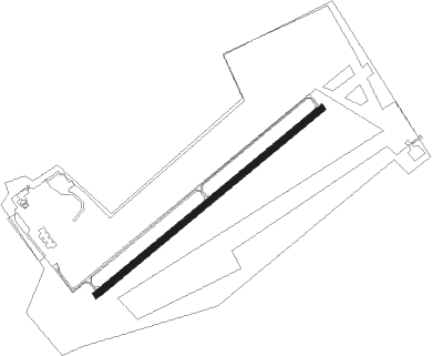
Klausheide - Nordhorn-lingen
Airport details
| Country | Germany |
| State | Lower Saxony |
| Region | ED |
| Airspace | Bremen Ctr |
| Municipality | Wietmarschen |
| Elevation | 85ft (26m) |
| Timezone | GMT +1 |
| Coordinates | 52.45750, 7.18267 |
| Magnetic var | |
| Type | land |
| Available since | X-Plane v10.40 |
| ICAO code | EDWN |
| IATA code | n/a |
| FAA code | n/a |
Communication
| Nordhorn-Lingen Nordhorn INFO | 122.650 |
Nearby Points of Interest:
Gut Klausheide
-Kapelle Hesepe
-Stift Wietmarschen
-Stiftskirche Wietmarschen
-St. Marien
-Evangelisch-reformierte Kirche
-Adler-Apotheke
-Kapelle Brandlecht
-Rathaus (Nordhorn)
-Saint Nicholas Church
-Schuivenhuisje
-Borgbeuningen
-Simon en Judaskerk
-Everlo
-Evangelisch-reformierte Kirche Ohne
-De Haer, Oldenzaal
-Saline Gottesgabe
-Meppen lock
-St. Anna
-Reformed Church
-Sint-Pancratiusbasiliek
-Molen Herinckhave
-Standbeeld van Dr. Schaepman
-De Hooge Boekel
Nearby beacons
| code | identifier | dist | bearing | frequency |
|---|---|---|---|---|
| RKN | DME | 24.8 | 232° | 116.80 |
| MOD | DME | 26.6 | 122° | 114.05 |
| MYN | MUENSTER/OSNABRUECK NDB | 28.8 | 116° | 371 |
| HMM | HAMM VOR/DME | 40.9 | 139° | 115.65 |
| EEL | EELDE (GRONINGEN) VOR/DME | 46.3 | 324° | 112.40 |
| BOT | BOTTROP NDB | 52.6 | 190° | 406 |
| DOR | WICKEDE (DORTMUND) VOR/DME | 58.3 | 154° | 108.65 |
| DWI | DORTMUND-WICKEDE NDB | 58.3 | 154° | 357 |
Disclaimer
The information on this website is not for real aviation. Use this data with the X-Plane flight simulator only! Data taken with kind consent from X-Plane 12 source code and data files. Content is subject to change without notice.