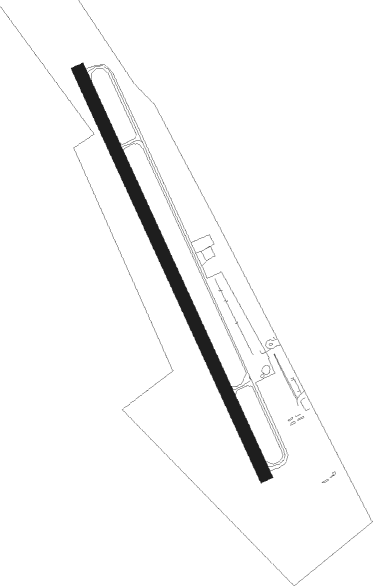
Norddeich - Norden Norddeich
Airport details
| Country | Germany |
| State | Lower Saxony |
| Region | ED |
| Airspace | Bremen Ctr |
| Municipality | Norden |
| Elevation | 0ft (0m) |
| Timezone | GMT +1 |
| Coordinates | 53.63306, 7.18944 |
| Magnetic var | |
| Type | land |
| Available since | X-Plane v10.40 |
| ICAO code | EDWS |
| IATA code | NOD |
| FAA code | n/a |
Communication
| Norden Norddeich Bremen Information | 125.100 |
| Norden Norddeich Norddeich Info | 120.500 |
Nearby Points of Interest:
St.-Ludgerus-Kirche
-Christuskirche (Norden)
-Schöningh House
-Dree Süsters
-Conerusspeicher
-Tjücher Mühle
-Petrikirche
-Wirdum Church
-Beningaburg (Grimersum)
-Appingen Abbey
-Rentmeisterhaus (Uttum)
-Westerbur Church (Dornum)
-Canhuser Kirche
-Wasserschöpfmühle Agnes
-Pewsum Church
-Bedekaspel Church (Südbrookmerland)
-Loppersumer Kirche
-The Evangelical Reformed St. Peter Church in Groothusen
-Marienkirche (Woquard)
-Mühle Hinte
-Burg Westerhusen
-St. Martin
-Haxtumer Mühle
-Aurich railway station
-Friedhofswärterhaus
Nearby beacons
| code | identifier | dist | bearing | frequency |
|---|---|---|---|---|
| WTM | WITTMUNDHAFEN TACAN | 19.6 | 98° | 113.50 |
| EEL | EELDE (GRONINGEN) VOR/DME | 33.8 | 228° | 112.40 |
| DHE | HELGOLAND VOR/DME | 41.8 | 53° | 116.30 |
Disclaimer
The information on this website is not for real aviation. Use this data with the X-Plane flight simulator only! Data taken with kind consent from X-Plane 12 source code and data files. Content is subject to change without notice.