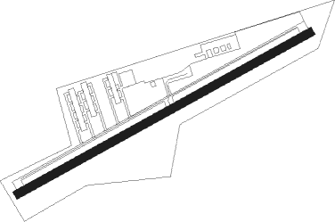
Westerstede - Westerstede-felde
Airport details
| Country | Germany |
| State | Lower Saxony |
| Region | ED |
| Airspace | Bremen Ctr |
| Municipality | Westerstede |
| Elevation | 28ft (9m) |
| Timezone | GMT +1 |
| Coordinates | 53.28883, 7.93133 |
| Magnetic var | |
| Type | land |
| Available since | X-Plane v10.40 |
| ICAO code | EDWX |
| IATA code | n/a |
| FAA code | n/a |
Communication
| Westerstede-Felde Westerstede Info | 123.650 |
Nearby Points of Interest:
Mansinger Burgplatz
-Woltzetener Kirche
-St. Cosmas und Damian (Barßel)
-Lutherische Kirche
-Liudgerikirche
-Ostgroßefehner Kirche
-Holy Cross Church
-Logabirumer Kirche
-Bavariahaus
-Strandhalle Wilhelmshaven
-Holtrop Church
-St. Laurentius und St.Vincentius (Backemoor)
-Dreifaltigkeitskirche (Collinghorst)
-St. Stephanuskirche
-St. Jakobikirche
-Amtsgericht Leer
-St. Florian
-Rathaus Leer
-Harderwykenburg
-Esklumer Kirche
-Reformierte Kirche
-Leerort
-Ihlowerfehn Church
-Teehäuschen
-St.-Ludgerus-Kirche
Nearby beacons
| code | identifier | dist | bearing | frequency |
|---|---|---|---|---|
| WTM | WITTMUNDHAFEN TACAN | 17.5 | 322° | 113.50 |
| BMN | BREMEN VOR/DME | 33.2 | 106° | 117.45 |
| BND | DME | 33.9 | 106° | 113.65 |
| WSN | WESER NDB | 34 | 86° | 378 |
| HIG | BREMEN NDB | 38 | 104° | 318 |
| NDO | NORDHOLZ TACAN | 38.6 | 56° | 117.10 |
| NDO | NORDHOLZ NDB | 43.1 | 60° | 372 |
| DP | DIEPHOLZ NDB | 45.9 | 143° | 325 |
| DHE | HELGOLAND VOR/DME | 53.8 | 359° | 116.30 |
Disclaimer
The information on this website is not for real aviation. Use this data with the X-Plane flight simulator only! Data taken with kind consent from X-Plane 12 source code and data files. Content is subject to change without notice.