Sankt Peter-ording - Sankt Peter Ording
Airport details
| Country | Germany |
| State | Schleswig-Holstein |
| Region | ED |
| Airspace | Bremen Ctr |
| Municipality | Tating |
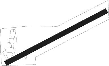
| Elevation | 2ft (1m) |
| Timezone | GMT +1 |
| Coordinates | 54.30900, 8.68683 |
| Magnetic var | |
| Type | land |
| Available since | X-Plane v10.40 |
| ICAO code | EDXO |
| IATA code | PSH |
| FAA code | n/a |
Communication
| Sankt Peter Ording St. Peter Ording INFO | 129.775 |
Nearby Points of Interest:
Boker Kanal
-Jüdischer Friedhof Friedrichstadt
-Neuer Jüdischer Friedhof Friedrichstadt
-Amtsgericht Husum
-Nordmarsch
Nearby beacons
| code | identifier | dist | bearing | frequency |
|---|---|---|---|---|
| DHE | HELGOLAND VOR/DME | 28.2 | 261° | 116.30 |
| HNT | HOHN TACAN | 29.8 | 90° | 115.30 |
| SWG | SCHLESWIG TACAN | 30.4 | 79° | 111.80 |
| NDO | NORDHOLZ NDB | 31.7 | 167° | 372 |
| NDO | NORDHOLZ TACAN | 32.4 | 184° | 117.10 |
| SLT | WESTERLAND/SYLT NDB | 34.2 | 333° | 387 |
| HN | HOHN NDB | 34.4 | 89° | 344 |
| WES | DME-ILS | 38 | 330° | 111.50 |
| WTM | WITTMUNDHAFEN TACAN | 56.6 | 232° | 113.50 |
| SKR | VOJENS/SKRYDSTRUP VORTAC | 58.1 | 30° | 110.40 |
| WSN | WESER NDB | 58.1 | 169° | 378 |
| VO | VOJENS/SKRYDSTRUP NDB | 58.6 | 33° | 321 |
Disclaimer
The information on this website is not for real aviation. Use this data with the X-Plane flight simulator only! Data taken with kind consent from X-Plane 12 source code and data files. Content is subject to change without notice.