Hameenkyro
Airport details
| Country | Finland |
| State | Western Finland |
| Region | EF |
| Airspace | Helsinki Ctr |
| Municipality | Hämeenkyrö |
| Elevation | 449ft (137m) |
| Timezone | GMT +2 |
| Coordinates | 61.69028, 23.07417 |
| Magnetic var | |
| Type | land |
| Available since | X-Plane v10.40 |
| ICAO code | EFHM |
| IATA code | n/a |
| FAA code | n/a |
Communication
Nearby Points of Interest:
The old cemetery chapel
-Uhrilähde
-Mouhijärvi Church
-Jämijärvi Church
-Nokiankivi
-Sastamala Church
-Pitkäniemi hospital
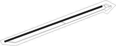
Runway info
| Runway 07 / 25 | ||
| length | 905m (2969ft) | |
| bearing | 82° / 262° | |
| width | 14m (45ft) | |
| surface | asphalt | |
| displ threshold | 129m (423ft) / 120m (394ft) | |
Nearby beacons
| code | identifier | dist | bearing | frequency |
|---|---|---|---|---|
| PIR | PIRKKA (TAMPERE) VOR/DME | 22.1 | 119° | 116.20 |
| PSJ | SEINAJOKI NDB | 57.2 | 352° | 352 |
| IJ | INDIA-JULIETT (SEINAJOKI) NDB | 59.3 | 348° | 382 |
Disclaimer
The information on this website is not for real aviation. Use this data with the X-Plane flight simulator only! Data taken with kind consent from X-Plane 12 source code and data files. Content is subject to change without notice.