Kumlinge
Airport details
| Country | Finland |
| State | Åland Islands |
| Region | EF |
| Airspace | Helsinki Ctr |
| Municipality | Kumlinge |
| Elevation | 5ft (2m) |
| Timezone | GMT +2 |
| Coordinates | 60.24674, 20.80160 |
| Magnetic var | |
| Type | land |
| Available since | X-Plane v10.40 |
| ICAO code | EFKG |
| IATA code | n/a |
| FAA code | n/a |
Communication
| Kumlinge CTAF | 123.400 |
Nearby Points of Interest:
Brändö church
-Vårdö Church
-Föglö church
-Kökar Church
-Iniö Church
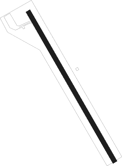
Runway info
| Runway 15 / 33 | ||
| length | 647m (2123ft) | |
| bearing | 136° / 316° | |
| width | 18m (59ft) | |
| surface | asphalt | |
| displ threshold | 34m (112ft) / 25m (82ft) | |
Nearby beacons
| code | identifier | dist | bearing | frequency |
|---|---|---|---|---|
| MAR | MARIE (MARIEHAMN) VOR/DME | 27.2 | 263° | 114.70 |
Disclaimer
The information on this website is not for real aviation. Use this data with the X-Plane flight simulator only! Data taken with kind consent from X-Plane 12 source code and data files. Content is subject to change without notice.