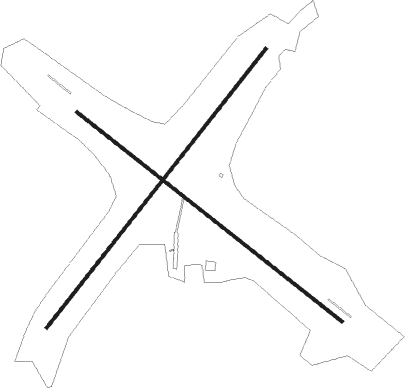
Selänpää - Selanpaa
Airport details
| Country | Finland |
| State | Southern Finland |
| Region | EF |
| Airspace | Helsinki Ctr |
| Municipality | Kouvola |
| Elevation | 416ft (127m) |
| Timezone | GMT +2 |
| Coordinates | 61.06417, 26.79556 |
| Magnetic var | |
| Type | land |
| Available since | X-Plane v10.40 |
| ICAO code | EFSE |
| IATA code | n/a |
| FAA code | n/a |
Communication
| Selanpaa Selanpaa Radio | 123.200 |
Nearby Points of Interest:
Kaipiainen railway station
-Koria railway bridge

Nearby beacons
| code | identifier | dist | bearing | frequency |
|---|---|---|---|---|
| UTT | UTTI VOR/DME | 10.7 | 141° | 114.60 |
| S | SIERRA (MIKKELI) NDB | 39 | 38° | 374 |
| M | MIKE (MIKKELI) NDB | 39.3 | 30° | 336 |
| MI | MIKE-INDIA (MIKKELI) NDB | 39.7 | 23° | 346 |
Disclaimer
The information on this website is not for real aviation. Use this data with the X-Plane flight simulator only! Data taken with kind consent from X-Plane 12 source code and data files. Content is subject to change without notice.