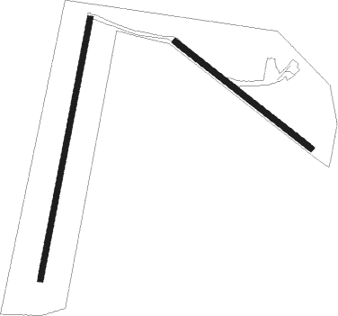
Kirkbymoorside - Fadmoor
Airport details
| Country | United Kingdom |
| State | England |
| Region | |
| Airspace | London Ctr |
| Municipality | Ryedale |
| Elevation | 778ft (237m) |
| Timezone | GMT +0 |
| Coordinates | 54.30408, -0.98493 |
| Magnetic var | |
| Type | land |
| Available since | X-Plane v10.40 |
| ICAO code | EG35 |
| IATA code | n/a |
| FAA code | n/a |
Communication
| Fadmoor Safetycom | 135.475 |
| Fadmoor Fadmoor Radio | 123.225 |
Nearby Points of Interest:
Duncombe Park
-Gilling Castle
-Gormire Lake
-Simon Howe
-Busby Hall
-The Milton Rooms
-Kirkham Priory
-Langbaurgh Ridge
-Ebberston Hall
-Rudby Hall
-Hutton Hall
-Ruther Cross
-Guisborough Town Hall
-Sutton Park
-Howsham Hall
-Otterington Hall
-Skelton Castle
-County Hall
-Chapel of Rest, Brompton, Scarborough
-Birdsall House
-The Pigsty
-Battle of the Standard
-Wykeham Abbey
-Whitby engine shed
-Old Town Hall

Nearby beacons
| code | identifier | dist | bearing | frequency |
|---|---|---|---|---|
| LEE | LEEMING TACAN | 19.3 | 269° | 112.60 |
| TD | TEESSIDE INTL NDB | 19.6 | 306° | 347 |
| SBL | SHERBURN-IN-ELMET NDB | 31.8 | 203° | 323 |
| LBA | LEEDS BRADFORD NDB | 35.3 | 237° | 402 |
| OTR | OTTRINGHAM VOR/DME | 47.8 | 125° | 113.90 |
| KIM | HUMBERSIDE NDB | 49.1 | 139° | 365 |
| FNY | DONCASTER SHEFFIELD NDB | 49.8 | 181° | 338 |
| NT | NEWCASTLE NDB | 50.3 | 319° | 352 |
| NEW | DME | 50.5 | 316° | 114.25 |
Disclaimer
The information on this website is not for real aviation. Use this data with the X-Plane flight simulator only! Data taken with kind consent from X-Plane 12 source code and data files. Content is subject to change without notice.