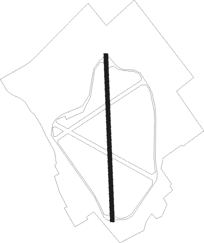
Harby - Langar
Airport details
| Country | United Kingdom |
| State | England |
| Region | |
| Airspace | London Ctr |
| Municipality | Borough of Melton |
| Elevation | 108ft (33m) |
| Timezone | GMT +0 |
| Coordinates | 52.88449, -0.90192 |
| Magnetic var | |
| Type | land |
| Available since | X-Plane v10.40 |
| ICAO code | EG63 |
| IATA code | n/a |
| FAA code | n/a |
Communication
Nearby Points of Interest:
All Saints' Church
-Langar Hall
-Wiverton Hall
-Goadby Hall
-Ab Kettleby Manor
-Home Farmhouse
-Widmerpool Hall
-St Hugh's College, Tollerton
-St Mary's Church, Brentingby
-Bunny Hall
-Mary Hardstaff Homes
-Albion Congregational Church
-St Alban's Church, Sneinton
-Plumptre Hospital
-Stoke Hall
-Brooksby Hall
-St Mary's School
-Finkin Street Methodist Church
-The Guildhall and Sessions Hall
-County House
-Caves at Drury Hill
-Flying Horse Inn
-Nottingham Council House
-Stoke Rochford Hall
-Elite Building
Nearby beacons
| code | identifier | dist | bearing | frequency |
|---|---|---|---|---|
| EME | EAST MIDLANDS NDB | 11 | 260° | 353 |
| CWL | CRANWELL NDB | 17.1 | 71° | 423 |
| CWZ | CRANWELL TACAN | 17.3 | 71° | 117.40 |
| LE | LEICESTER NDB | 17.3 | 206° | 383 |
| EMW | EAST MIDLANDS NDB | 20.3 | 264° | 393 |
| WAD | WADDINGTON TACAN | 21.6 | 53° | 117.10 |
| WIT | WITTERING TACAN | 22.1 | 124° | 117.60 |
| GAM | GAMSTON VOR/DME | 23.8 | 353° | 112.80 |
| CGY | CONINGSBY TACAN | 29.2 | 74° | 111.10 |
| TNT | TRENT VOR/DME | 29.5 | 282° | 115.70 |
| TNL | TATENHILL NDB | 31.6 | 265° | 327 |
| FNY | DONCASTER SHEFFIELD NDB | 35.6 | 350° | 338 |
| BHX | BIRMINGHAM NDB | 40.3 | 243° | 406 |
| HON | HONILEY VOR/DME | 42.1 | 235° | 113.65 |
| DTY | DAVENTRY VOR/DME | 43 | 197° | 116.40 |
| KIM | HUMBERSIDE NDB | 45.8 | 38° | 365 |
| CIT | CRANFIELD NDB | 47 | 155° | 850 |
| MAM | MARHAM TACAN | 55 | 99° | 108.70 |
| SBL | SHERBURN-IN-ELMET NDB | 55.4 | 341° | 323 |
| CAM | CAMBRIDGE NDB | 56.6 | 122° | 332 |
| OTR | OTTRINGHAM VOR/DME | 56.6 | 44° | 113.90 |
| MLD | MILDENHALL TACAN | 59.5 | 111° | 115.90 |
| LKH | LAKENHEATH TACAN | 60.1 | 108° | 110.20 |
| LUT | LUTON NDB | 64 | 147° | 345 |
| BKY | BARKWAY VOR/DME | 64.2 | 133° | 116.25 |
| LBA | LEEDS BRADFORD NDB | 64.7 | 323° | 402 |
Disclaimer
The information on this website is not for real aviation. Use this data with the X-Plane flight simulator only! Data taken with kind consent from X-Plane 12 source code and data files. Content is subject to change without notice.