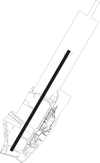
Belfast - Belfast City
Airport details
| Country | United Kingdom |
| State | Northern Ireland |
| Region | EG |
| Airspace | Scottish Ctr |
| Municipality | County Down |
| Elevation | 15ft (5m) |
| Timezone | GMT +0 |
| Coordinates | 54.61806, -5.87250 |
| Magnetic var | |
| Type | land |
| Available since | X-Plane v10.40 |
| ICAO code | EGAC |
| IATA code | BHD |
| FAA code | n/a |
Communication
| Belfast City ATIS | 124.580 |
| Belfast City BELFAST FIRE | 121.600 |
| Belfast City BELFAST Tower | 122.830 |
| Belfast City BELFAST RADAR | 134.800 |
| Belfast City BELFAST Approach | 130.850 |
| Belfast City BELFAST Tower dep | 122.830 |
Approach frequencies
| ILS-cat-I | RW22 | 108.1 | 18.00mi |
| ILS-cat-I | RW04 | 108.1 | 18.00mi |
| 3° GS | RW22 | 108.1 | 18.00mi |
| 3° GS | RW04 | 108.1 | 18.00mi |
Nearby Points of Interest:
Carrickfergus Borough Council Town Hall Joymount Carrickfergus Co. Antrim Bt38 7dl
-Strangford Lough
-Mew Island Lighthouse
-Town Hall Upper Cross Street Larne Co Antrim Bt40 1sz
-Down Arts Centre
-Banbridge Town Hall
Nearby beacons
| code | identifier | dist | bearing | frequency |
|---|---|---|---|---|
| HB | BELFAST CITY NDB | 0.1 | 11° | 420 |
| OY | BELFAST/ALDERGROVE NDB | 8.6 | 289° | 332 |
| BEL | BELFAST VOR/DME | 12.6 | 277° | 117.20 |
| MAC | MACHRIHANISH VOR/DME | 49.3 | 15° | 116 |
| CBL | CAMPBELTOWN NDB | 49.5 | 13° | 380 |
| GMN | GORMANSTON NDB | 59.5 | 200° | 334 |
| GMN | DME | 59.7 | 200° | 112.90 |
Disclaimer
The information on this website is not for real aviation. Use this data with the X-Plane flight simulator only! Data taken with kind consent from X-Plane 12 source code and data files. Content is subject to change without notice.