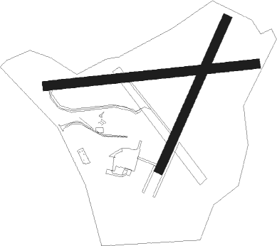
Nottingham
Airport details
| Country | United Kingdom |
| State | England |
| Region | EG |
| Airspace | London Ctr |
| Municipality | Rushcliffe |
| Elevation | 138ft (42m) |
| Timezone | GMT +0 |
| Coordinates | 52.91771, -1.08133 |
| Magnetic var | |
| Type | land |
| Available since | X-Plane v10.40 |
| ICAO code | EGBN |
| IATA code | NQT |
| FAA code | n/a |
Communication
| Nottingham A/G VOICE RDO | 134.875 |
Nearby Points of Interest:
St Hugh's College, Tollerton
-Albion Congregational Church
-Plumptre Hospital
-St Alban's Church, Sneinton
-St Mary's School
-County House
-Caves at Drury Hill
-Flying Horse Inn
-Nottingham Council House
-Elite Building
-Nottingham Guildhall
-St. Andrew with Castlegate United Reformed Church
-Woodborough Road Baptist Church
-Park Tunnel
-Ropewalk Pumping Station
-Oldknows Factory
-Mary Hardstaff Homes
-Canning Terrace
-Albert Ball Memorial Homes
-Derby Road drill hall
-Bunny Hall
-Widmerpool Hall
-Hyson Green Baptist Church
-Norris Almshouses
-The Grange

Nearby beacons
| code | identifier | dist | bearing | frequency |
|---|---|---|---|---|
| EME | EAST MIDLANDS NDB | 6.5 | 233° | 353 |
| EMW | EAST MIDLANDS NDB | 14.5 | 257° | 393 |
| LE | LEICESTER NDB | 18.7 | 172° | 383 |
| CWL | CRANWELL NDB | 22.3 | 80° | 423 |
| GAM | GAMSTON VOR/DME | 22.3 | 20° | 112.80 |
| CWZ | CRANWELL TACAN | 22.5 | 79° | 117.40 |
| TNT | TRENT VOR/DME | 22.8 | 283° | 115.70 |
| WAD | WADDINGTON TACAN | 24.9 | 66° | 117.10 |
| TNL | TATENHILL NDB | 25.6 | 261° | 327 |
| WIT | WITTERING TACAN | 28.1 | 118° | 117.60 |
| FNY | DONCASTER SHEFFIELD NDB | 33.5 | 8° | 338 |
| CGY | CONINGSBY TACAN | 34.5 | 79° | 111.10 |
| BHX | BIRMINGHAM NDB | 37 | 235° | 406 |
| HON | HONILEY VOR/DME | 39.8 | 226° | 113.65 |
| DTY | DAVENTRY VOR/DME | 44.3 | 183° | 116.40 |
| KIM | HUMBERSIDE NDB | 47.2 | 48° | 365 |
| CIT | CRANFIELD NDB | 51 | 146° | 850 |
| SBL | SHERBURN-IN-ELMET NDB | 52.5 | 352° | 323 |
| OTR | OTTRINGHAM VOR/DME | 58.5 | 51° | 113.90 |
| LBA | LEEDS BRADFORD NDB | 60.4 | 329° | 402 |
| MAM | MARHAM TACAN | 61.8 | 99° | 108.70 |
| CAM | CAMBRIDGE NDB | 62.7 | 119° | 332 |
| MLD | MILDENHALL TACAN | 66.1 | 109° | 115.90 |
| LKH | LAKENHEATH TACAN | 66.8 | 107° | 110.20 |
Disclaimer
The information on this website is not for real aviation. Use this data with the X-Plane flight simulator only! Data taken with kind consent from X-Plane 12 source code and data files. Content is subject to change without notice.