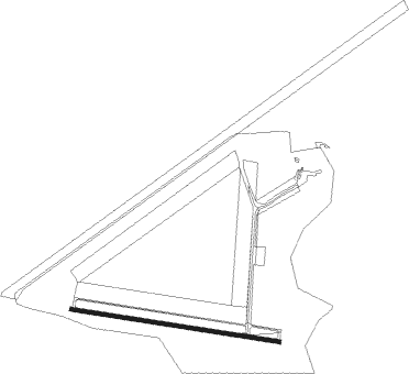
Selby - Sherburn In Elmet
Airport details
| Country | United Kingdom |
| State | England |
| Region | EG |
| Airspace | London Ctr |
| Municipality | Selby |
| Elevation | 23ft (7m) |
| Timezone | GMT +0 |
| Coordinates | 53.78417, -1.21778 |
| Magnetic var | |
| Type | land |
| Available since | X-Plane v10.40 |
| ICAO code | EGCJ |
| IATA code | n/a |
| FAA code | n/a |
Communication
Nearby Points of Interest:
Monk Fryston Hall
-Battle of Towton
-Cawood Bridge
-Grimston Park
-Tadcaster Bridge
-Becca Hall
-Old Town Hall
-Pontefract Market Hall
-Bowcliffe Hall
-Moreby Hall
-Bramham Park
-Healaugh Park Priory
-Austhorpe Hall
-Boston House And Attached Wing Wall
-Thorp Arch Bridge
-Cowick Hall
-Middlethorpe Hall
-Nostell Priory
-Collingham Bridge
-Linton Bridge
-Hunslet Mill
-Roundhay Hall Hospital
-Robin Hood's Well
-Gledhow Hall
-85, 87 And 89, Micklegate
Nearby beacons
| code | identifier | dist | bearing | frequency |
|---|---|---|---|---|
| SBL | SHERBURN-IN-ELMET NDB | 0.4 | 59° | 323 |
| LBA | LEEDS BRADFORD NDB | 16.1 | 281° | 402 |
| FNY | DONCASTER SHEFFIELD NDB | 20.1 | 145° | 338 |
| POL | POLE HILL VOR/DME | 31.5 | 267° | 112.10 |
| GAM | GAMSTON VOR/DME | 31.6 | 152° | 112.80 |
| LEE | LEEMING TACAN | 32.7 | 328° | 112.60 |
| KIM | HUMBERSIDE NDB | 33.2 | 104° | 365 |
| WAD | WADDINGTON TACAN | 44.6 | 132° | 117.10 |
| TNT | TRENT VOR/DME | 46.7 | 212° | 115.70 |
| TD | TEESSIDE INTL NDB | 46.8 | 352° | 347 |
| CWL | CRANWELL NDB | 52.4 | 136° | 423 |
| CWZ | CRANWELL TACAN | 52.4 | 136° | 117.40 |
| EME | EAST MIDLANDS NDB | 57.1 | 179° | 353 |
| EMW | EAST MIDLANDS NDB | 58 | 194° | 393 |
| TNL | TATENHILL NDB | 61.4 | 210° | 327 |
Disclaimer
The information on this website is not for real aviation. Use this data with the X-Plane flight simulator only! Data taken with kind consent from X-Plane 12 source code and data files. Content is subject to change without notice.