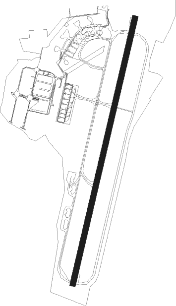
Doncaster - Doncaster Sheffield
Airport details
| Country | United Kingdom |
| State | England |
| Region | EG |
| Airspace | London Ctr |
| Municipality | Doncaster |
| Elevation | 55ft (17m) |
| Timezone | GMT +0 |
| Coordinates | 53.47528, -1.00414 |
| Magnetic var | |
| Type | land |
| Available since | X-Plane v10.40 |
| ICAO code | EGCN |
| IATA code | DSA |
| FAA code | n/a |
Communication
| Doncaster Sheffield Doncaster Information | 134.955 |
| Doncaster Sheffield Doncaster Tower | 128.775 |
| Doncaster Sheffield Doncaster Approach | 126.225 |
Approach frequencies
| ILS-cat-III | RW20 | 110.95 | 18.00mi |
| ILS-cat-I | RW02 | 110.95 | 18.00mi |
| 3.1° GS | RW02 | 110.95 | 18.00mi |
| 3° GS | RW20 | 110.95 | 18.00mi |
Nearby Points of Interest:
Cantley Hall
-Holy Trinity Church, Everton
-Serlby Hall
-Wadworth Hall
-Nether Hall
-Mansion House, Doncaster
-Blyth Priory
-Sandbeck Park
-Belshaw
-Hodsock Priory
-St Martin of Tours' Church, Saundby
-Hirst Priory
-Holy Trinity Hospital (Almshouses)
-Sloswicke's Hospital
-St John's Church, Throapham
-Town Hall
-Gainsborough Bridge
-Hickleton Hall
-Lindrick Golf Club
-Robin Hood's Well
-Hooton Pagnell Hall
-Shireoaks Hall
-Worksop Town Hall
-Worksop Manor
-St Nicholas' Church, Littleborough
Nearby beacons
| code | identifier | dist | bearing | frequency |
|---|---|---|---|---|
| FNY | DONCASTER SHEFFIELD NDB | 0 | 101° | 338 |
| GAM | GAMSTON VOR/DME | 11.8 | 164° | 112.80 |
| SBL | SHERBURN-IN-ELMET NDB | 20.2 | 327° | 323 |
| KIM | HUMBERSIDE NDB | 23.9 | 81° | 365 |
| WAD | WADDINGTON TACAN | 25.2 | 123° | 117.10 |
| CWZ | CRANWELL TACAN | 32.6 | 131° | 117.40 |
| CWL | CRANWELL NDB | 32.7 | 131° | 423 |
| LBA | LEEDS BRADFORD NDB | 32.8 | 301° | 402 |
| OTR | OTTRINGHAM VOR/DME | 34.7 | 76° | 113.90 |
| TNT | TRENT VOR/DME | 34.8 | 238° | 115.70 |
| CGY | CONINGSBY TACAN | 37.8 | 115° | 111.10 |
| EME | EAST MIDLANDS NDB | 39.1 | 197° | 353 |
| EMW | EAST MIDLANDS NDB | 42 | 215° | 393 |
| TNL | TATENHILL NDB | 48.2 | 229° | 327 |
| LE | LEICESTER NDB | 52.1 | 182° | 383 |
| LEE | LEEMING TACAN | 52.8 | 327° | 112.60 |
| WIT | WITTERING TACAN | 55.1 | 150° | 117.60 |
Departure and arrival routes
| Transition altitude | 5000ft |
| SID end points | distance | outbound heading | |
|---|---|---|---|
| RW02 | |||
| ROGA2C | 114mi | 98° | |
| ROGA02 | 29mi | 109° | |
| UPTO2C | 76mi | 268° | |
| RW20 | |||
| ROGA2A | 114mi | 98° | |
| ROG20N, ROG20S | 29mi | 109° | |
| UPTO2A, UPTO2B | 76mi | 268° | |
| STAR starting points | distance | inbound heading | |
|---|---|---|---|
| ALL | |||
| EMBO1D | 32.4 | 30° | |
| TNT1D | 34.8 | 58° | |
| REXA1D | 81.2 | 79° | |
| WAL1D | 76.3 | 88° | |
| CALD1D | 61.1 | 100° | |
| SETE1D | 60.2 | 111° | |
| GASK1D | 56.2 | 128° | |
Disclaimer
The information on this website is not for real aviation. Use this data with the X-Plane flight simulator only! Data taken with kind consent from X-Plane 12 source code and data files. Content is subject to change without notice.