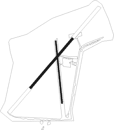
Shrewsbury - Sleap
Airport details
| Country | United Kingdom |
| State | England |
| Region | EG |
| Airspace | London Ctr |
| Municipality | Shropshire |
| Elevation | 273ft (83m) |
| Timezone | GMT +0 |
| Coordinates | 52.83472, -2.77028 |
| Magnetic var | |
| Type | land |
| Available since | X-Plane v10.40 |
| ICAO code | EGCV |
| IATA code | n/a |
| FAA code | n/a |
Communication
Nearby Points of Interest:
Acton Reynald Hall
-St Martin's Church, Preston Gubbals
-Albrighton Hall
-Bury Walls
-Battle of Shrewsbury
-Town Hall
-Woodhouse
-Llyn Bedydd
-Hanmer Churchyard Cross
-The Mount
-HM Prison Shrewsbury
-Welsh Bridge
-Newport House
-High Ercall Hall
-Iscoyd Park
-Peplow Hall
-Churton Memorial Fountain
-Longner Hall
-The Gelli
-Loton Park
-Alberbury Castle
-Longdon-Upon-Tern aqueduct
-Attingham Park
-Buntingsdale Hall
-Styche Hall

Nearby beacons
| code | identifier | dist | bearing | frequency |
|---|---|---|---|---|
| SWB | SHAWBURY VOR/DME | 4.4 | 109° | 116.80 |
| WPL | WELSHPOOL NDB | 18.5 | 242° | 323 |
| WHI | WHITEGATE NDB | 21.6 | 23° | 368 |
| HAW | HAWARDEN NDB | 22 | 329° | 340 |
| WBA | WOLVERHAMPTON NDB | 26.6 | 122° | 356 |
| WOL | DME | 26.6 | 122° | 108.60 |
| LPL | LIVERPOOL NDB | 30.3 | 5° | 349 |
| SH | SHOBDON NDB | 35.7 | 190° | 426 |
| WAL | WALLASEY VOR/DME | 35.9 | 327° | 114.10 |
| MCT | MANCHESTER VOR/DME | 36.3 | 44° | 113.55 |
| WTN | WARTON TACAN | 54.6 | 353° | 113.20 |
| WTN | WARTON NDB | 55.1 | 355° | 337 |
| BPL | BLACKPOOL NDB | 57.1 | 345° | 318 |
| POL | POLE HILL VOR/DME | 59.6 | 36° | 112.10 |
| GST | GLOUCESTERSHIRE NDB | 60.7 | 147° | 331 |
Disclaimer
The information on this website is not for real aviation. Use this data with the X-Plane flight simulator only! Data taken with kind consent from X-Plane 12 source code and data files. Content is subject to change without notice.