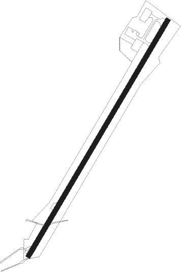
Welshpool
Airport details
| Country | United Kingdom |
| State | Wales |
| Region | EG |
| Airspace | London Ctr |
| Municipality | Powys |
| Elevation | 229ft (70m) |
| Timezone | GMT +0 |
| Coordinates | 52.62944, -3.15250 |
| Magnetic var | |
| Type | land |
| Available since | X-Plane v10.40 |
| ICAO code | EGCW |
| IATA code | n/a |
| FAA code | n/a |
Communication
| Welshpool Welshpool Radio | 128.000 |
Nearby Points of Interest:
Leighton Hall
-Church of St Michael and All Angels, Forden
-Christ Church
-St Beuno's Church, Berriew
-Tŷ Mawr
-Vaynor Park
-Caerhowel Bridge
-Trewern Hall
-Mitchell's Fold
-St Michael's Church
-Parish Church Of St Tysilio And St Mary
-St Beuno's church, Bettws Cedewain
-Holy Trinity Church, Penrhos
-Hen Capel John Hughes
-Penarth
-Llandrinio Bridge
-St Llwchaiarn's Church
-Gregynog Hall
-Church Of St Michael And All Angels
-Wattlesborough Castle
-Garthmyl Hall, Berriew
-Cilthriew, Kerry
-Society of Friends' Meeting House
-Alberbury Castle
-Loton Park
Nearby beacons
| code | identifier | dist | bearing | frequency |
|---|---|---|---|---|
| WPL | WELSHPOOL NDB | 0 | 290° | 323 |
| SWB | SHAWBURY VOR/DME | 20.5 | 71° | 116.80 |
| SH | SHOBDON NDB | 25.2 | 145° | 426 |
| WBA | WOLVERHAMPTON NDB | 33.2 | 97° | 356 |
| WOL | DME | 33.2 | 97° | 108.60 |
| HAW | HAWARDEN NDB | 33.6 | 17° | 340 |
| WHI | WHITEGATE NDB | 38.4 | 44° | 368 |
| LPL | LIVERPOOL NDB | 45.3 | 31° | 349 |
| WAL | WALLASEY VOR/DME | 45.7 | 1° | 114.10 |
| MCT | MANCHESTER VOR/DME | 54.2 | 51° | 113.55 |
| BCN | BRECON VOR/DME | 54.4 | 187° | 117.45 |
| GST | GLOUCESTERSHIRE NDB | 57.1 | 127° | 331 |
Disclaimer
The information on this website is not for real aviation. Use this data with the X-Plane flight simulator only! Data taken with kind consent from X-Plane 12 source code and data files. Content is subject to change without notice.