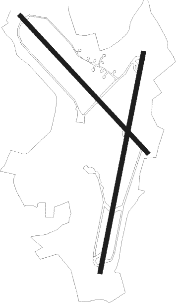
St Davids - Raf Brawdy
Airport details
| Country | United Kingdom |
| State | Wales |
| Region | EG |
| Airspace | London Ctr |
| Municipality | St Davids |
| Elevation | 354ft (108m) |
| Timezone | GMT +0 |
| Coordinates | 51.87725, -5.12551 |
| Magnetic var | |
| Type | land |
| Available since | X-Plane v10.40 |
| ICAO code | EGDA |
| IATA code | n/a |
| FAA code | n/a |
Communication
Nearby Points of Interest:
Arfordir Abereiddi
-Porth-y-Tŵr
-Melin Tregwynt
-County of Pembroke War Memorial
-Strumble Head - Llechdafad Cliffs
-St Brides Castle
-Esgyrn Bottom
-Wallis Moor
-Pill Priory
-Great Castle Head Light
-St David's Church
-Dale Castle
-Ynysoedd Skomer a Middleholm
-Fort Hubberstone
-St Thomas à Becket Chapel, Milford Haven
-West Blockhouse Fort
-Popton Fort
-Pele Tower
-Cwm Dewi
-St Decuman's Church
-Benton Castle
-Paterchurch Tower
-Llawhaden Bridge
-Dockyard Chapel
-Gelli Bridge

Nearby beacons
| code | identifier | dist | bearing | frequency |
|---|---|---|---|---|
| HDW | DME | 6.3 | 106° | 116.75 |
| HAV | HAVERFORDWEST NDB | 6.4 | 106° | 328 |
| STU | STRUMBLE VOR/DME | 7.7 | 36° | 113.10 |
Disclaimer
The information on this website is not for real aviation. Use this data with the X-Plane flight simulator only! Data taken with kind consent from X-Plane 12 source code and data files. Content is subject to change without notice.