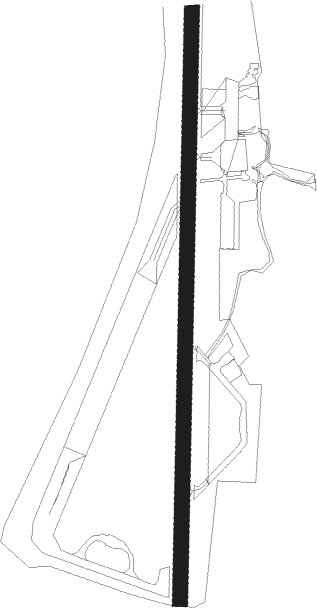
Oban
Airport details
| Country | United Kingdom |
| State | Scotland |
| Region | EG |
| Airspace | Scottish Ctr |
| Municipality | Argyll and Bute |
| Elevation | 20ft (6m) |
| Timezone | GMT +0 |
| Coordinates | 56.46459, -5.39844 |
| Magnetic var | |
| Type | land |
| Available since | X-Plane v10.40 |
| ICAO code | EGEO |
| IATA code | OBN |
| FAA code | n/a |
Communication
| Oban Oban Information | 118.050 |
Nearby Points of Interest:
Connel Bridge
-Lochnell Observatory
-Barcaldine Castle
-Ardchattan Priory
-Clach na Carraig,standing stone & cairn 450m S of Strontoiller
-Clachan Bridge
-Ardtornish
-Loch Aline
-Sunart
-Barbreck House
-Massacre Of Glencoe Memorial, Glencoe
-Carloonan Doocot
-Glencoe House
-Callert House
-Aray Bridge
-Inveraray Castle Estate, Garron Bridge, Garron Lodge
-Inveraray, Front Street West, Screen Wall
-Inveraray, Front Street West, Avenue Screen
-Inveraray, Front Street West, Ivy House
-Inveraray, Front Street West, Town House
-Inveraray, Front Street West, Chamberlain's House
-Inveraray,cross,Front Street
-Inveraray, Front Street East, Temperance Hotel
-Inveraray, North Main Street West, Corner House
-Inveraray, Front Street East, Gillies's House
Nearby beacons
| code | identifier | dist | bearing | frequency |
|---|---|---|---|---|
| OBA | DME-ILS | 0.2 | 226° | 110.55 |
| OBN | OBAN NDB | 0.2 | 224° | 404 |
| GOW | GLASGOW VOR/DME | 47.8 | 122° | 115.40 |
| GLW | GLASGOW NDB | 48.1 | 122° | 331 |
| ISY | DME-ILS | 54.9 | 227° | 109.95 |
| LAY | ISLAY NDB | 54.9 | 227° | 395 |
| DUD | DME | 60.6 | 139° | 115.45 |
| PIK | PRESTWICK NDB | 63.8 | 139° | 355 |
Disclaimer
The information on this website is not for real aviation. Use this data with the X-Plane flight simulator only! Data taken with kind consent from X-Plane 12 source code and data files. Content is subject to change without notice.