Aberporth - West Wales Aberporth
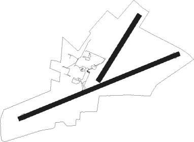
Airport details
| Country | United Kingdom |
| State | Wales |
| Region | EG |
| Airspace | London Ctr |
| Municipality | Ceredigion |
| Elevation | 428ft (130m) |
| Timezone | GMT +0 |
| Coordinates | 52.11472, -4.55944 |
| Magnetic var | |
| Type | land |
| Available since | X-Plane v10.40 |
| ICAO code | EGFA |
| IATA code | n/a |
| FAA code | n/a |
Communication
| West Wales Aberporth West Wales Information | 122.150 |
Nearby Points of Interest:
Cenarth Bridge
-Teifi Marshes Nature Reserve
-Pont Treseli
-Nevern Bridge
-Rhos Pwllygawnen
-Newport Cliffs
-Newport Castle
-Gallt Llanerch - Coed Gelli-deg
-Preseli Hills
-St Gwenog Church
-castle hotel
-Cwm Dewi
-River Teifi
-Temple Druid
-Pont Aberarth
-Rhydwilym Baptist Church
-Esgyrn Bottom
-Elim Independent Chapel
-Falcondale Lake
-St David's Hospital
-Wallis Moor
-St David's Church
-Heol Awst Welsh Independent Chapel
-Priory Street Welsh Independent Chapel
-Penuel Baptist Chapel

Nearby beacons
| code | identifier | dist | bearing | frequency |
|---|---|---|---|---|
| STU | STRUMBLE VOR/DME | 19.1 | 256° | 113.10 |
| HAV | HAVERFORDWEST NDB | 22.7 | 235° | 328 |
| HDW | DME | 22.7 | 235° | 116.75 |
Disclaimer
The information on this website is not for real aviation. Use this data with the X-Plane flight simulator only! Data taken with kind consent from X-Plane 12 source code and data files. Content is subject to change without notice.