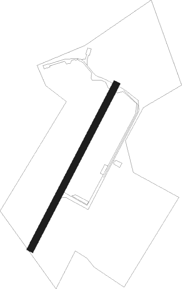
Pembrey
Airport details
| Country | United Kingdom |
| State | Wales |
| Region | EG |
| Airspace | London Ctr |
| Municipality | Carmarthenshire |
| Elevation | 15ft (5m) |
| Timezone | GMT +0 |
| Coordinates | 51.71389, -4.31222 |
| Magnetic var | |
| Type | land |
| Available since | X-Plane v10.40 |
| ICAO code | EGFP |
| IATA code | n/a |
| FAA code | n/a |
Communication
| Pembrey Pembrey Radio | 124.400 |
Nearby Points of Interest:
Capel Sul Welsh Chapel
-Iscoed
-Plas Llanstephan
-The Town Hall
-Cwm Ivy Marsh
-Tabernacl Independent Chapel
-St Ellyw's Church
-Seion Welsh Baptist Church
-Capel Als Independent Chapel
-Calfaria Baptist Church
-Beacon Bog
-St Odoceus' Church, Llandawke
-Church Of St Mary
-Gower Peninsula
-Carmarthen Bridge
-County Hall
-Heol Awst Welsh Independent Chapel
-Guildhall
-St David's Church
-Carmarthen Public Rooms
-St David's Hospital
-Eglwys Sant Ioan
-Penuel Baptist Chapel
-Priory Street Welsh Independent Chapel
-Elim Independent Chapel
Nearby beacons
| code | identifier | dist | bearing | frequency |
|---|---|---|---|---|
| HAV | HAVERFORDWEST NDB | 25.3 | 280° | 328 |
| HDW | DME | 25.4 | 280° | 116.75 |
| STU | STRUMBLE VOR/DME | 31.8 | 291° | 113.10 |
| CDF | CARDIFF NDB | 41.1 | 108° | 388 |
Disclaimer
The information on this website is not for real aviation. Use this data with the X-Plane flight simulator only! Data taken with kind consent from X-Plane 12 source code and data files. Content is subject to change without notice.