St. Mary's - Scilly Isles St Mary's
Airport details
| Country | United Kingdom |
| State | England |
| Region | EG |
| Airspace | London Ctr |
| Municipality | Isles of Scilly |
| Elevation | 116ft (35m) |
| Timezone | GMT +0 |
| Coordinates | 49.91426, -6.29444 |
| Magnetic var | |
| Type | land |
| Available since | X-Plane v10.40 |
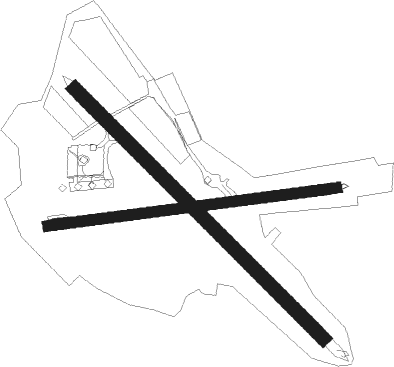
| ICAO code | EGHE |
| IATA code | ISC |
| FAA code | n/a |
Communication
| Scilly Isles St Mary's Scillies Tower | 124.880 |
| Scilly Isles St Mary's Scillies Approach/Dep | 124.880 |
Nearby Points of Interest:
Lower Moors
-Peninnis Head
-Former Wesleyan Methodist Chapel
-Garrison Tower
-HMS Colossus
-Oliver's Battery
-Wingletang Down
-Eastern Isles
-Old Blockhouse
-Castle Down
-Norrard Rocks
-Western Rocks

Nearby beacons
| code | identifier | dist | bearing | frequency |
|---|---|---|---|---|
| STM | SCILLY ISLES NDB | 0.1 | 93° | 321 |
| LND | LANDS END VOR/DME | 28.6 | 71° | 114.20 |
Disclaimer
The information on this website is not for real aviation. Use this data with the X-Plane flight simulator only! Data taken with kind consent from X-Plane 12 source code and data files. Content is subject to change without notice.