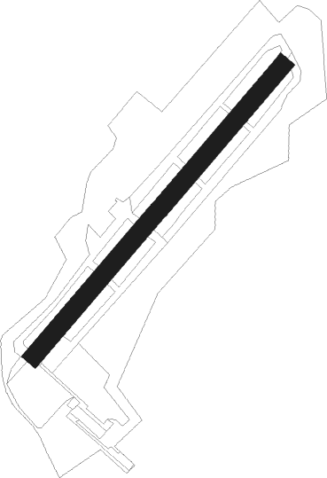
Sandown
Airport details
| Country | United Kingdom |
| State | England |
| Region | EG |
| Airspace | London Ctr |
| Municipality | Newchurch |
| Elevation | 60ft (18m) |
| Timezone | GMT +0 |
| Coordinates | 50.65306, -1.18222 |
| Magnetic var | |
| Type | land |
| Available since | X-Plane v10.40 |
| ICAO code | EGHN |
| IATA code | n/a |
| FAA code | n/a |
Communication
| Sandown Sandown Radio | 119.280 |
Nearby Points of Interest:
Sandown Barrack Battery
-America Wood
-Morton Manor
-Haseley Manor
-Yaverland Manor
-Nunwell House
-Bembridge Down
-Arreton Manor
-Church of St. Michael and All Angels, Swanmore, Ryde
-Holy Trinity Church, Ryde
-Ryde Theatre and Town Hall
-God's Providence House, Newport
-Ryde Pier
-Saint Thomas of Canterbury church, Newport, Isle of Wight
-St. James' Church, Kingston
-St Mary's Hospital, Isle of Wight
-St Catherine's Oratory
-Barton Manor, Whippingham
-Osborne Stable Block
-Westcourt Manor
-Norris Castle
-Fort Monckton
-HMS Invincible
-Spitbank Fort
-Browndown Battery
Nearby beacons
| code | identifier | dist | bearing | frequency |
|---|---|---|---|---|
| SAM | SOUTHAMPTON VOR/DME | 19.1 | 332° | 113.35 |
| EAS | SOUTHAMPTON (EASTLEIGH) NDB | 19.2 | 330° | 391 |
| GWC | GOODWOOD VOR/DME | 20.2 | 65° | 114.75 |
| BIA | BOURNEMOUTH NDB | 26.1 | 281° | 339 |
| MID | MIDHURST VOR/DME | 32 | 54° | 114 |
| SHM | SHOREHAM NDB | 35.4 | 78° | 332 |
| SRH | DME-ILS | 35.5 | 78° | 109.95 |
| ODH | ODIHAM TACAN | 35.9 | 22° | 109.60 |
| BDN | BOSCOMBE DOWN TACAN | 36.7 | 311° | 108.20 |
| BLC | DME | 42.2 | 27° | 116.20 |
| BLK | BLACKBUSHE NDB | 42.2 | 27° | 328 |
| OCK | OCKHAM VOR/DME | 48 | 48° | 115.30 |
| WOD | WOODLEY NDB | 49.3 | 21° | 352 |
| CPT | COMPTON VOR/DME | 50.3 | 357° | 114.35 |
| EPM | EPSOM NDB | 50.4 | 51° | 316 |
| BUR | BURNHAM NDB | 55.3 | 30° | 421 |
| LON | LONDON VOR/DME | 56.9 | 41° | 113.60 |
| BSO | BENSON TACAN | 57.8 | 5° | 110 |
| CHT | CHILTERN NDB | 63.4 | 34° | 277 |
Disclaimer
The information on this website is not for real aviation. Use this data with the X-Plane flight simulator only! Data taken with kind consent from X-Plane 12 source code and data files. Content is subject to change without notice.