Lewes - Deanland
Airport details
| Country | United Kingdom |
| State | England |
| Region | EG |
| Airspace | London Ctr |
| Municipality | Wealden District |
| Elevation | 60ft (18m) |
| Timezone | GMT +0 |
| Coordinates | 50.87883, 0.15633 |
| Magnetic var | |
| Type | land |
| Available since | X-Plane v10.40 |
| ICAO code | EGKL |
| IATA code | n/a |
| FAA code | n/a |
Communication
Nearby Points of Interest:
Laughton Place
-Park Corner Heath
-Michelham Priory
-Firle Escarpment
-Plashett Park Wood
-Alfriston Market Cross
-Wilmington Downs
-Southerham Grey Pit
-Southerham Works Pit
-Lewes Brooks
-Malling House
-Town Hall
-Russian Memorial, Lewes
-Pells Pool
-Southover General Baptist Chapel
-Southover Grange
-The Baptist Church
-Battle of Lewes
-Herstmonceux Place
-Stone Cross Windmill
-Heathfield Park
-Windmill Hill Mill, Herstmonceux
-Providence Chapel, Hadlow Down
-Langney Priory
-Rock Wood
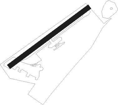
Runway info
| Runway 06 / 24 | ||
| length | 501m (1644ft) | |
| bearing | 68° / 248° | |
| width | 25m (82ft) | |
| surface | grass | |
| displ threshold | 51m (167ft) / 0m (0ft) | |
Nearby beacons
| code | identifier | dist | bearing | frequency |
|---|---|---|---|---|
| SFD | SEAFORD VOR/DME | 7.2 | 196° | 117 |
| MAY | MAYFIELD VOR/DME | 8.4 | 344° | 117.90 |
| SRH | DME-ILS | 17.2 | 265° | 109.95 |
| SHM | SHOREHAM NDB | 17.3 | 265° | 332 |
| HLS | DME | 24.9 | 61° | 115.95 |
| LSH | HEADCORN (LASHENDEN) NDB | 24.9 | 61° | 340 |
| BIG | BIGGIN VOR/DME | 27.5 | 345° | 115.10 |
| LYD | LYDD VOR/DME | 28.2 | 81° | 114.05 |
| LZD | LYDD NDB | 30 | 84° | 397 |
| DET | DETLING VOR/DME | 30.4 | 46° | 117.30 |
| MID | MIDHURST VOR/DME | 31.3 | 283° | 114 |
| EPM | EPSOM NDB | 33.1 | 310° | 316 |
| OCK | OCKHAM VOR/DME | 34.2 | 305° | 115.30 |
| GWC | GOODWOOD VOR/DME | 34.6 | 269° | 114.75 |
| LCY | LONDON CITY NDB | 37.7 | 352° | 322 |
| LON | LONDON VOR/DME | 43.4 | 314° | 113.60 |
| LAM | LAMBOURNE VOR/DME | 46 | 360° | 115.60 |
| BLC | DME | 46.2 | 294° | 116.20 |
| BLK | BLACKBUSHE NDB | 46.2 | 294° | 328 |
| SND | SOUTHEND NDB | 46.5 | 38° | 362 |
| ODH | ODIHAM TACAN | 46.8 | 288° | 109.60 |
| BUR | BURNHAM NDB | 49.6 | 308° | 421 |
| CHT | CHILTERN NDB | 51.3 | 318° | 277 |
| WOD | WOODLEY NDB | 52 | 299° | 352 |
| BPK | BROOKMANS PARK VOR/DME | 53.2 | 343° | 117.50 |
| BNN | BOVINGDON VOR/DME | 57.3 | 320° | 113.75 |
| HEN | HENTON NDB | 63.7 | 313° | 433 |
| BSO | BENSON TACAN | 64.6 | 300° | 110 |
| CLN | CLACTON VOR/DME | 69 | 46° | 114.55 |
| DSA | DIEPPE NDB | 69.5 | 137° | 351 |
| WCO | WESTCOTT NDB | 71.9 | 311° | 335 |
Disclaimer
The information on this website is not for real aviation. Use this data with the X-Plane flight simulator only! Data taken with kind consent from X-Plane 12 source code and data files. Content is subject to change without notice.