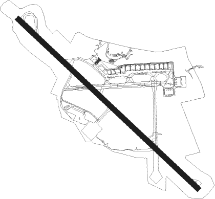
Leeds - Leeds Bradford
Airport details
| Country | United Kingdom |
| State | England |
| Region | EG |
| Airspace | London Ctr |
| Municipality | Leeds |
| Elevation | 681ft (208m) |
| Timezone | GMT +0 |
| Coordinates | 53.86602, -1.66077 |
| Magnetic var | |
| Type | land |
| Available since | X-Plane v10.40 |
| ICAO code | EGNM |
| IATA code | LBA |
| FAA code | n/a |
Communication
| Leeds Bradford Leeds Information | 118.030 |
| Leeds Bradford Leeds Delivery | 121.805 |
| Leeds Bradford Leeds Tower | 120.305 |
| Leeds Bradford Leeds Approach | 134.580 |
Approach frequencies
| ILS-cat-III | RW32 | 110.9 | 18.00mi |
| ILS-cat-I | RW14 | 110.9 | 18.00mi |
| 3.5° GS | RW14 | 110.9 | 18.00mi |
| 3° GS | RW32 | 110.9 | 18.00mi |
Nearby Points of Interest:
Yeadon Town Hall
-Grove Methodist Church
-Calverley Old Hall
-Creskeld Hall
-Otley Civic Centre
-High Royds Hospital
-Kirkstall Bridge
-Kirkstall Brewery
-Moorfield House, Headingley
-Carr Manor
-The Mansion Gotts Park
-Burley Branch Library
-Sugarwell Court
-Carved rock known as the Grey Stone in Grey Stone Pasture, Harewood Park, 370m south east of New Bridge
-School of Geography
-Paper Hall
-Hostel of the Resurrection
-Great Hall of the University of Leeds
-Brotherton Library
-Parkinson Building
-Drummond Mill
-Wool Exchange, Bradford
-Gledhow Hall
-Lister Mills
-Leeds General Infirmary
Nearby beacons
| code | identifier | dist | bearing | frequency |
|---|---|---|---|---|
| LBA | LEEDS BRADFORD NDB | 0.2 | 97° | 402 |
| SBL | SHERBURN-IN-ELMET NDB | 16.6 | 100° | 323 |
| POL | POLE HILL VOR/DME | 17.3 | 255° | 112.10 |
| LEE | LEEMING TACAN | 26.2 | 16° | 112.60 |
| FNY | DONCASTER SHEFFIELD NDB | 33.1 | 121° | 338 |
| MCT | MANCHESTER VOR/DME | 37.3 | 230° | 113.55 |
| TD | TEESSIDE INTL NDB | 43.2 | 25° | 347 |
| GAM | GAMSTON VOR/DME | 43.3 | 129° | 112.80 |
| TNT | TRENT VOR/DME | 48.7 | 181° | 115.70 |
| WHI | WHITEGATE NDB | 53.4 | 235° | 368 |
| DUF | DUN FELL DME | 56.3 | 316° | 115.25 |
Departure and arrival routes
| Transition altitude | 5000ft |
| SID end points | distance | outbound heading | |
|---|---|---|---|
| RW14 | |||
| LAMI2X | 48mi | 120° | |
| DOPE2X | 39mi | 123° | |
| POL2X | 17mi | 255° | |
| RW32 | |||
| LAMI2W | 48mi | 120° | |
| DOPE2W | 39mi | 123° | |
| NELS3W | 19mi | 270° | |
Disclaimer
The information on this website is not for real aviation. Use this data with the X-Plane flight simulator only! Data taken with kind consent from X-Plane 12 source code and data files. Content is subject to change without notice.