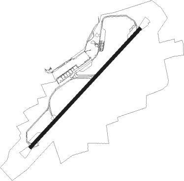
Darlington - Teesside Intl
Airport details
| Country | United Kingdom |
| State | England |
| Region | EG |
| Airspace | London Ctr |
| Municipality | Middleton St George |
| Elevation | 120ft (37m) |
| Timezone | GMT +0 |
| Coordinates | 54.50919, -1.42941 |
| Magnetic var | |
| Type | land |
| Available since | X-Plane v10.40 |
| ICAO code | EGNV |
| IATA code | MME |
| FAA code | n/a |
Communication
| Teesside Intl Teesside Information | 132.380 |
| Teesside Intl Teesside Tower | 119.805 |
| Teesside Intl Teesside Approach | 118.855 |
Approach frequencies
| ILS-cat-I | RW23 | 108.5 | 18.00mi |
| ILS-cat-I | RW05 | 108.5 | 18.00mi |
| 3° GS | RW23 | 108.5 | 18.00mi |
| 3° GS | RW05 | 108.5 | 18.00mi |
Nearby Points of Interest:
Town Hall
-Sockburn Hall
-Preston Hall
-The Old Hall
-St Cuthbert's Church, Redmarshall
-Former Town Hall
-Globe Theatre
-Cowton railway station
-Rudby Hall
-Tees Newport Bridge
-St Lawrence's Church
-The Cenotaph, Middlesbrough
-Thornton Hall, High Coniscliffe
-Walworth Castle
-Middleton Lodge
-Battle of the Standard
-The Manor House
-Moulton Hall
-Busby Hall
-Raby Hunt Inn
-Langbaurgh Ridge
-Windlestone Hall
-County Hall
-Forcett Hall
Nearby beacons
| code | identifier | dist | bearing | frequency |
|---|---|---|---|---|
| TD | TEESSIDE INTL NDB | 4.5 | 62° | 347 |
| LEE | LEEMING TACAN | 13.2 | 207° | 112.60 |
| NEW | DME | 33.1 | 333° | 114.25 |
| NT | NEWCASTLE NDB | 33.3 | 338° | 352 |
| LBA | LEEDS BRADFORD NDB | 39.4 | 199° | 402 |
| SBL | SHERBURN-IN-ELMET NDB | 43.9 | 163° | 323 |
| POL | POLE HILL VOR/DME | 51.7 | 221° | 112.10 |
Disclaimer
The information on this website is not for real aviation. Use this data with the X-Plane flight simulator only! Data taken with kind consent from X-Plane 12 source code and data files. Content is subject to change without notice.