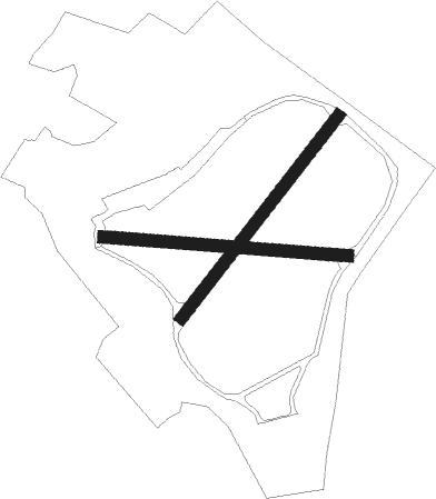
Ternhill
Airport details
| Country | United Kingdom |
| State | England |
| Region | EG |
| Airspace | London Ctr |
| Municipality | Stoke upon Tern |
| Elevation | 271ft (83m) |
| Timezone | GMT +0 |
| Coordinates | 52.87117, -2.53350 |
| Magnetic var | |
| Type | land |
| Available since | X-Plane v10.40 |
| ICAO code | EGOE |
| IATA code | n/a |
| FAA code | n/a |
Communication
| Ternhill Tower | 122.100 |
Nearby Points of Interest:
Buntingsdale Hall
-Pell Wall Hall
-Styche Hall
-Peplow Hall
-Bury Walls
-Battle of Blore Heath
-Highfields
-Broughton Hall, Staffordshire
-Acton Reynald Hall
-Audlem Baptist Church
-High Ercall Hall
-Combermere Abbey
-Churton Memorial Fountain
-Forton Hall
-Talbot Chapel
-Longdon-Upon-Tern aqueduct
-St Peter and Paul Church, Newport
-Ball Farmhouse
-Puleston Cross
-Hankelow Hall
-Maer Hall
-Aqualate Hall
-Sutherland Monument
-Doddington Hall, Cheshire
-Sound Heath

Nearby beacons
| code | identifier | dist | bearing | frequency |
|---|---|---|---|---|
| SWB | SHAWBURY VOR/DME | 6.4 | 240° | 116.80 |
| WHI | WHITEGATE NDB | 19.1 | 344° | 368 |
| WBA | WOLVERHAMPTON NDB | 23.5 | 143° | 356 |
| WOL | DME | 23.5 | 143° | 108.60 |
| HAW | HAWARDEN NDB | 24.5 | 305° | 340 |
| WPL | WELSHPOOL NDB | 26.8 | 249° | 323 |
| TNL | TATENHILL NDB | 28 | 94° | 327 |
| LPL | LIVERPOOL NDB | 28.9 | 338° | 349 |
| MCT | MANCHESTER VOR/DME | 30.7 | 29° | 113.55 |
| TNT | TRENT VOR/DME | 33.1 | 78° | 115.70 |
| BHX | BIRMINGHAM NDB | 37.8 | 118° | 406 |
| WAL | WALLASEY VOR/DME | 38 | 311° | 114.10 |
| SH | SHOBDON NDB | 39.7 | 209° | 426 |
| HON | HONILEY VOR/DME | 44.2 | 121° | 113.65 |
| WTN | WARTON TACAN | 53.7 | 338° | 113.20 |
| WTN | WARTON NDB | 54.1 | 340° | 337 |
| POL | POLE HILL VOR/DME | 54.6 | 26° | 112.10 |
| BPL | BLACKPOOL NDB | 57 | 331° | 318 |
| GST | GLOUCESTERSHIRE NDB | 60.3 | 160° | 331 |
| LBA | LEEDS BRADFORD NDB | 67.5 | 42° | 402 |
Disclaimer
The information on this website is not for real aviation. Use this data with the X-Plane flight simulator only! Data taken with kind consent from X-Plane 12 source code and data files. Content is subject to change without notice.