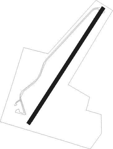
Anglesey - Mona
Airport details
| Country | United Kingdom |
| State | Wales |
| Region | EG |
| Airspace | London Ctr |
| Municipality | Isle of Anglesey |
| Elevation | 190ft (58m) |
| Timezone | GMT +0 |
| Coordinates | 53.25930, -4.37401 |
| Magnetic var | |
| Type | land |
| Available since | X-Plane v10.40 |
| ICAO code | EGOQ |
| IATA code | n/a |
| FAA code | n/a |
Communication
| Mona Mona Radio | 118.955 |
| Mona Mona Tower | 119.175 |
| Mona VALLEY RADAR | 125.225 |
Nearby Points of Interest:
Cors Bodwrog
-Melin Frogwy
-St Ceinwen's Church
-Gwalchmai War Memorial
-Melin Gwalchmai
-Capel Horeb
-St Cwyllog's Church
-County Court
-Moreia Chapel
-Rayner Memorial Clock Tower
-Llangefni Town Hall
-St Peulan's Church
-Y Werthyr hillfort
-St Trygarn's Church
-Malltraeth Marsh
-St Cynfarwy's Church
-St Mary's Church, Tal-y-llyn
-St Michael's Church, Llanfihangel Ysgeifiog
-Melin Llidiart
-Melin Sguthan
-Melin Hermon
-St Ffinan's Church
-Llyn Llywenan
-St Ceidio's Church
-St Mary's Church
Nearby beacons
| code | identifier | dist | bearing | frequency |
|---|---|---|---|---|
| VYL | VALLEY TACAN | 6.1 | 267° | 108.40 |
| RWY | RONALDSWAY NDB | 50.1 | 343° | 359 |
| IOM | ISLE OF MAN VOR/DME | 50.4 | 334° | 112.20 |
Disclaimer
The information on this website is not for real aviation. Use this data with the X-Plane flight simulator only! Data taken with kind consent from X-Plane 12 source code and data files. Content is subject to change without notice.