Inverness
Airport details
| Country | United Kingdom |
| State | Scotland |
| Region | EG |
| Airspace | Scottish Ctr |
| Municipality | Highland |
| Elevation | 27ft (8m) |
| Timezone | GMT +0 |
| Coordinates | 57.54079, -4.04266 |
| Magnetic var | |
| Type | land |
| Available since | X-Plane v10.40 |
| ICAO code | EGPE |
| IATA code | INV |
| FAA code | n/a |
Communication
| Inverness Inverness Information | 109.200 |
| Inverness Inverness Tower | 118.405 |
| Inverness Inverness Approach | 122.605 |
Approach frequencies
| ILS-cat-I | RW23 | 108.5 | 18.00mi |
| ILS-cat-I | RW05 | 108.5 | 18.00mi |
| 3° GS | RW23 | 108.5 | 18.00mi |
| 3° GS | RW05 | 108.5 | 18.00mi |
Nearby Points of Interest:
Cameron Barracks
-Kessock Bridge
-Beauly Firth
-Inverness, 96 - 104 Academy Street, Foundry Offices
-Inverness Town House
-Belmaduthy,chambered cairn 410m SW of Belmaduthy Farm
-Poyntzfield
-Boath House
-Cromarty House
-chambered cairn 620m NW of Balnaguie
-Craig Phadrig
-Cromarty, Causeway, Church Of Scotland Manse
-Old Allangrange House
-Cromarty, Church Street, Miller House
-Cromarty, Church Street, Hugh Miller's Cottage
-Cromarty, High Street, Townlands Farm, Barn
-Newhall House
-Cromarty, Marine Terrace, The Harbour
-Dunearn
-Clach a' Mheirlich
-Carn Glas
-Teaninich Castle
-Dochfour House
-Foulis Castle
-Novar House
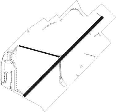
Runway info
Runway 05 / 23  | ||
| length | 1883m (6178ft) | |
| bearing | 65° / 245° | |
| width | 46m (151ft) | |
| surface | asphalt | |
| displ threshold | 63m (207ft) / 0m (0ft) | |
| Runway 11 / 29 | ||
| length | 701m (2300ft) | |
| bearing | 101° / 281° | |
| width | 18m (59ft) | |
| surface | asphalt | |
Nearby beacons
| code | identifier | dist | bearing | frequency |
|---|---|---|---|---|
| INS | INVERNESS VOR/DME | 0.1 | 40° | 109.20 |
| IVR | INVERNESS NDB | 0.1 | 282° | 328 |
| LSM | LOSSIEMOUTH TACAN | 25.1 | 77° | 111.30 |
| WCK | WICK NDB | 62.7 | 47° | 344 |
| WIK | WICK VOR/DME | 62.7 | 46° | 113.60 |
Disclaimer
The information on this website is not for real aviation. Use this data with the X-Plane flight simulator only! Data taken with kind consent from X-Plane 12 source code and data files. Content is subject to change without notice.