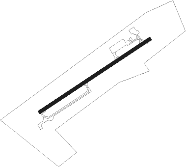
Leslie - Fife
Airport details
| Country | United Kingdom |
| State | Scotland |
| Region | EG |
| Airspace | Scottish Ctr |
| Municipality | Fife |
| Elevation | 395ft (120m) |
| Timezone | GMT +0 |
| Coordinates | 56.18429, -3.21919 |
| Magnetic var | |
| Type | land |
| Available since | X-Plane v10.40 |
| ICAO code | EGPJ |
| IATA code | n/a |
| FAA code | n/a |
Communication
| Fife Fife Radio | 130.450 |
Nearby Points of Interest:
Arnot Tower
-Balbirnie House
-Falkland, High Street, Town Hall
-Falkland, High Street, Moncrief House
-Kirkcaldy, 443-449 High Street, Sailor's Walk
-Dysart, 14 Victoria Street, Tolbooth And Town Hall
-Dysart, Panhall, Shore Road, St Serf's Church
-Kirkcaldy Town House
-Dysart, Panhall, 1 Pan Ha', Bay House
-Wemyss Castle
-Strathmiglo, High Street, Town House
-Myres Castle
-Randolph Wemyss Memorial Hospital
-Kinross House
-Dowhill Castle
-Melville House
-Pitcairlie House
-Over Rankeilour House
-Dumglow
-Scotstarvit Tower
-Abernethy Round Tower
-Hill of Tarvit
-Carpow Roman Fort
-Lindores Abbey
-Balmanno Castle
Nearby beacons
| code | identifier | dist | bearing | frequency |
|---|---|---|---|---|
| EDN | EDINBURGH NDB | 12.5 | 198° | 341 |
| PTH | PERTH VOR | 16.2 | 330° | 110.40 |
| LUK | LEUCHARS TACAN | 16.3 | 62° | 110.50 |
| DND | DUNDEE NDB | 16.6 | 21° | 394 |
| UW | EDINBURGH NDB | 19.2 | 225° | 368 |
| TLA | TALLA VOR/DME | 41.3 | 191° | 113.80 |
| GLO | LOWTHER DME | 50.7 | 213° | 109.65 |
Disclaimer
The information on this website is not for real aviation. Use this data with the X-Plane flight simulator only! Data taken with kind consent from X-Plane 12 source code and data files. Content is subject to change without notice.