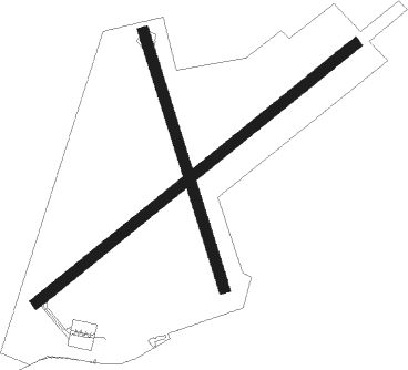
Balivanich - Benbecula
Airport details
| Country | United Kingdom |
| State | Scotland |
| Region | EG |
| Airspace | Scottish Ctr |
| Municipality | Western Isles |
| Elevation | 19ft (6m) |
| Timezone | GMT +0 |
| Coordinates | 57.48056, -7.36389 |
| Magnetic var | |
| Type | land |
| Available since | X-Plane v10.40 |
| ICAO code | EGPL |
| IATA code | BEB |
| FAA code | n/a |
Communication
| Benbecula Benbecula Information | 113.950 |
| Benbecula Benbecula Tower | 119.205 |
Nearby Points of Interest:
Dun Ban,dun,Loch Hornary,Grimsay
-Struan Cottage
-Dun Torcuill,dun,Loch an Duin
-Calvay Castle

Nearby beacons
| code | identifier | dist | bearing | frequency |
|---|---|---|---|---|
| BEN | BENBECULA VOR/DME | 0.1 | 208° | 113.95 |
| BBA | BENBECULA NDB | 0.3 | 231° | 401 |
| BCL | DME-ILS | 0.3 | 230° | 108.10 |
| BRR | BARRA NDB | 27.4 | 191° | 316 |
| TIR | TIREE VOR/DME | 61.4 | 154° | 117.70 |
Disclaimer
The information on this website is not for real aviation. Use this data with the X-Plane flight simulator only! Data taken with kind consent from X-Plane 12 source code and data files. Content is subject to change without notice.