Eoligarry - Barra Beach
Airport details
| Country | United Kingdom |
| State | Scotland |
| Region | EG |
| Airspace | Scottish Ctr |
| Municipality | Western Isles |
| Elevation | 0ft (0m) |
| Timezone | GMT +0 |
| Coordinates | 57.02361, -7.44167 |
| Magnetic var | |
| Type | land |
| Available since | X-Plane v10.35 |
| ICAO code | EGPR |
| IATA code | BRR |
| FAA code | n/a |
Communication
| Barra Beach Barra Tower | 128.800 |
| Barra Beach departure | 133.000 |
Nearby Points of Interest:
Dun Bharpa,chambered cairn 800m NE of Balnacraig
-Barra, Castlebay, The Square
-Dun a Chaolais
-Calvay Castle
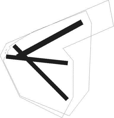
Runway info
Runway 15 / 33  | ||
| length | 843m (2766ft) | |
| bearing | 123° / 303° | |
| width | 46m (151ft) | |
| surface | hard surface | |
| displ threshold | 49m (161ft) / 67m (220ft) | |
| Runway 11 / 29 | ||
| length | 680m (2231ft) | |
| bearing | 96° / 276° | |
| width | 46m (151ft) | |
| surface | hard surface | |
| displ threshold | 49m (161ft) / 72m (236ft) | |
| Runway 07 / 25 | ||
| length | 798m (2618ft) | |
| bearing | 76° / 256° | |
| width | 60m (197ft) | |
| surface | hard surface | |
Nearby beacons
| code | identifier | dist | bearing | frequency |
|---|---|---|---|---|
| BRR | BARRA NDB | 0.2 | 286° | 316 |
| BBA | BENBECULA NDB | 27.2 | 9° | 401 |
| BCL | DME-ILS | 27.2 | 9° | 108.10 |
| BEN | BENBECULA VOR/DME | 27.3 | 10° | 113.95 |
| TIR | TIREE VOR/DME | 36.9 | 133° | 117.70 |
Instrument approach procedures
| runway | airway (heading) | route (dist, bearing) |
|---|---|---|
| RW15 | ETRIP (103°) | ETRIP 2300ft PR15I (5mi, 79°) 1600ft |
| RW15 | OMOMI (122°) | OMOMI 3100ft PR15I (5mi, 122°) 1600ft |
| RW15 | UDALO (153°) | UDALO 3100ft PR15I (5mi, 226°) 1600ft |
| RNAV | PR15I 1600ft PR15F (3mi, 123°) 1600ft MA15 (5mi, 123°) 140ft PRM01 (4mi, 123°) PRM02 (3mi, 65°) OMOMI (17mi, 294°) 3100ft OMOMI (turn) | |
| RW25 | DIMDO (237°) | DIMDO 3100ft PR25I (5mi, 173°) 2100ft |
| RW25 | NOLNU (256°) | NOLNU 3100ft PR25I (5mi, 256°) 2100ft |
| RW25 | RILGU (271°) | RILGU 2300ft PR25I (5mi, 299°) 2100ft |
| RNAV | PR25I 2100ft PR25F (3mi, 256°) 1500ft EGPR (5mi, 255°) 41ft PRM03 (2mi, 6°) NOLNU (12mi, 81°) 3100ft NOLNU (turn) |
Disclaimer
The information on this website is not for real aviation. Use this data with the X-Plane flight simulator only! Data taken with kind consent from X-Plane 12 source code and data files. Content is subject to change without notice.