Perth - Perth Scone
Airport details
| Country | United Kingdom |
| State | Scotland |
| Region | EG |
| Airspace | Scottish Ctr |
| Municipality | Perth |
| Elevation | 396ft (121m) |
| Timezone | GMT +0 |
| Coordinates | 56.44111, -3.37389 |
| Magnetic var | |
| Type | land |
| Available since | X-Plane v10.40 |
| ICAO code | EGPT |
| IATA code | PSL |
| FAA code | n/a |
Communication
| Perth Scone Perth Radio | 119.800 |
Nearby Points of Interest:
St Mary's Monastery
-Albert Monument
-Perth, Rose Terrace, Old Perth Academy
-2, 4 Charlotte Place, Perth
-2–8 Atholl Crescent, Perth
-Perth, King Edward Street, City Hall
-Perth, Tay Street, Sheriff Court
-Perth, Tay Street, Waterworks
-King James VI Hospital
-Battleby
-Glendoick House
-Rhynd, Telephone Call Box
-Moncrieffe House
-Bridge Of Isla
-Inchmartine House
-Meikleour, Mercat Cross
-Errol Park House
-Ballindean House
-Drummonie House
-Carpow Roman Fort
-Abernethy Round Tower
-Balmanno Castle
-Methven Parish Church and churchyard
-Pitcur earth house
-Rossie Priory
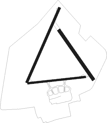
Runway info
Runway 03 / 21  | ||
| length | 852m (2795ft) | |
| bearing | 44° / 224° | |
| width | 27m (89ft) | |
| surface | asphalt | |
| Runway 09 / 27 | ||
| length | 608m (1995ft) | |
| bearing | 89° / 269° | |
| width | 22m (72ft) | |
| surface | asphalt | |
| displ threshold | 143m (469ft) / 0m (0ft) | |
| Runway 15 / 33 | ||
| length | 622m (2041ft) | |
| bearing | 133° / 313° | |
| width | 36m (118ft) | |
| surface | grass | |
Nearby beacons
| code | identifier | dist | bearing | frequency |
|---|---|---|---|---|
| PTH | PERTH VOR | 0.1 | 76° | 110.40 |
| DND | DUNDEE NDB | 8.6 | 87° | 394 |
| LUK | LEUCHARS TACAN | 17.4 | 98° | 110.50 |
| EDN | EDINBURGH NDB | 27.9 | 169° | 341 |
| UW | EDINBURGH NDB | 32.4 | 193° | 368 |
| TLA | TALLA VOR/DME | 56.5 | 179° | 113.80 |
Disclaimer
The information on this website is not for real aviation. Use this data with the X-Plane flight simulator only! Data taken with kind consent from X-Plane 12 source code and data files. Content is subject to change without notice.