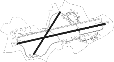
Airport details
| Country | United Kingdom |
| State | Scotland |
| Region | EG |
| Airspace | Scottish Ctr |
| Municipality | Fife |
| Elevation | 38ft (12m) |
| Timezone | GMT +0 |
| Coordinates | 56.37267, -2.86850 |
| Magnetic var | |
| Type | land |
| Available since | X-Plane v10.40 |
| ICAO code | EGQL |
| IATA code | ADX |
| FAA code | n/a |
Communication
| RAF Leuchars Leuchars Ground | 122.100 |
| RAF Leuchars Leuchars Tower | 122.100 |
| RAF Leuchars Leuchars Approach | 126.500 |
| RAF Leuchars Leuchars Departure | 126.500 |
Approach frequencies
| ILS-cat-I | RW26 | 108.55 | 18.00mi |
| 3° GS | RW26 | 108.55 | 18.00mi |
Nearby Points of Interest:
The Royal and Ancient Golf Club of St Andrews
- Pitcullo Castle
- Bogward Dovecot
- St Andrews University Library
- St Salvator's College, St Andrews
- 11 & 13 College Street, St Andrews
- St Salvator's Hall
- St Andrews, South Street, Town Hall And Library
- St John's House, St Andrews
- St Andrews, 67-69 South Street
- Vicarsford Cemetery, Lady Leng Memorial Chapel
- Deans Court
- St Andrews Harbour
- Dairsie Bridge
- Dundee, Broughty Ferry, 2 Whinny Brae, Eastern Primary School
- Dundee, Broughty Ferry, 96 Dundee Road, St Stephen's Church
- Cupar, 95 Bonnygate, Preston Lodge
- Ceres, High Street, Ceres Burn, Bishop Bridge And Linking Wall To Folk Museum
- Ceres, St John's Lodge
- Panmure Shipyard
- Dundee, Dundee Harbour, Camperdown Dock
- Dundee Harbour, Victoria Dock
- Dundee Harbour, Victoria Dock, Camperdown Street, Harbour Warehouse
- Dundee, 15 Shore Terrace, Exchange Coffee House
- Dundee, Dock Street, Custom House