Beccles
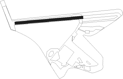
Airport details
| Country | United Kingdom |
| State | England |
| Region | EG |
| Airspace | London Ctr |
| Municipality | East Suffolk |
| Elevation | 80ft (24m) |
| Timezone | GMT +0 |
| Coordinates | 52.43533, 1.61833 |
| Magnetic var | |
| Type | land |
| Available since | X-Plane v10.40 |
| ICAO code | EGSM |
| IATA code | n/a |
| FAA code | n/a |
Communication
| Beccles Beccles Radio | 120.375 |
Nearby Points of Interest:
Barnby Broad and Marshes
-Beccles bell tower
-Town Hall
-Roos Hall
-Benacre Hall
-Gillingham Hall
-Reydon Wood
-Royal Norfolk and Suffolk Yacht Club
-Raveningham Hall
-Hales Hall
-Flixton Road Mill
-Corton Windmill
-Butter Cross
-Blackshore Mill
-Westwood Marshes Mill
-Ditchingham Hall
-Earsham Hall
-Walpole Old Chapel
-Langley Hall
-Gorleston Pavilion
-Halvergate Marshes
-Langley Abbey
-Heveningham Hall
-Mutton's Mill
Nearby beacons
| code | identifier | dist | bearing | frequency |
|---|---|---|---|---|
| NWI | NORWICH NDB | 18.8 | 307° | 342 |
| WTZ | WATTISHAM TACAN | 31.2 | 245° | 109.30 |
| CLN | CLACTON VOR/DME | 39.2 | 219° | 114.55 |
| SND | SOUTHEND NDB | 61.7 | 227° | 362 |
Disclaimer
The information on this website is not for real aviation. Use this data with the X-Plane flight simulator only! Data taken with kind consent from X-Plane 12 source code and data files. Content is subject to change without notice.