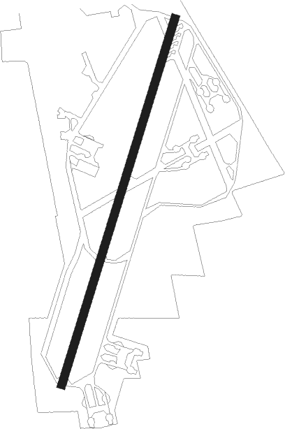
Waddington - Raf Waddington
Airport details
| Country | United Kingdom |
| State | England |
| Region | EG |
| Airspace | London Ctr |
| Municipality | North Kesteven |
| Elevation | 230ft (70m) |
| Timezone | GMT +0 |
| Coordinates | 53.17326, -0.52594 |
| Magnetic var | |
| Type | land |
| Available since | X-Plane v10.40 |
| ICAO code | EGXW |
| IATA code | WTN |
| FAA code | n/a |
Communication
| RAF Waddington Waddington Departure | 123.300 |
| RAF Waddington Waddington Tower | 125.350 |
Approach frequencies
| ILS-cat-I | RW20 | 110.7 | 18.00mi |
| 3° GS | RW20 | 110.7 | 18.00mi |
Nearby Points of Interest:
Lincoln St. Marks railway station
-All Saints' Church, Lincoln
-County offices
-Norman House
-Leigh-Pemberton House
-Assize Courts
-The Old Barracks, Lincoln
-Metheringham Windmill
-Riseholme Hall
-Leadenham House
-Royal Air Force College Cranwell
-Kettlethorpe Hall
-Langford Hall
-St Lawrence's Church, Snarford
-St Gregory's Church, Fledborough
-St Nicholas' Church, Normanton
-St Oswald's Church, Dunham-on-Trent
-Coates medieval settlement and moated site
-Westholme House
-Playhouse, Sleaford
-Cogglesford Mill
-Stow Park railway station
-Sleaford Castle
-Whimpton Moor medieval village and moated site
-Bass Maltings, Sleaford
Nearby beacons
| code | identifier | dist | bearing | frequency |
|---|---|---|---|---|
| WAD | WADDINGTON TACAN | 0.4 | 186° | 117.10 |
| CWZ | CRANWELL TACAN | 8.8 | 164° | 117.40 |
| CWL | CRANWELL NDB | 8.9 | 166° | 423 |
| CGY | CONINGSBY TACAN | 13.7 | 103° | 111.10 |
| GAM | GAMSTON VOR/DME | 16.4 | 284° | 112.80 |
| FNY | DONCASTER SHEFFIELD NDB | 24.8 | 302° | 338 |
| KIM | HUMBERSIDE NDB | 24.8 | 23° | 365 |
| EME | EAST MIDLANDS NDB | 31.6 | 243° | 353 |
| WIT | WITTERING TACAN | 33.9 | 177° | 117.60 |
| OTR | OTTRINGHAM VOR/DME | 34.9 | 39° | 113.90 |
| LE | LEICESTER NDB | 38.7 | 222° | 383 |
| EMW | EAST MIDLANDS NDB | 39.4 | 250° | 393 |
| SBL | SHERBURN-IN-ELMET NDB | 44.3 | 312° | 323 |
| MAM | MARHAM TACAN | 50.4 | 116° | 108.70 |
| LKH | LAKENHEATH TACAN | 60.3 | 126° | 110.20 |
| MLD | MILDENHALL TACAN | 61 | 129° | 115.90 |
| CAM | CAMBRIDGE NDB | 63.3 | 144° | 332 |
| DTY | DAVENTRY VOR/DME | 63.3 | 211° | 116.40 |
| NWI | NORWICH NDB | 72.2 | 105° | 342 |
Departure and arrival routes
| Transition altitude | 3000ft |
| SID end points | distance | outbound heading | |
|---|---|---|---|
| RW02 | |||
| 02NE | 15mi | 59° | |
| 02SE | 17mi | 117° | |
| RW20 | |||
| 20NE | 35mi | 39° | |
Disclaimer
The information on this website is not for real aviation. Use this data with the X-Plane flight simulator only! Data taken with kind consent from X-Plane 12 source code and data files. Content is subject to change without notice.