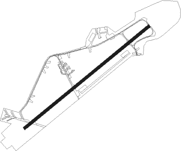
Enschede - Enschede Twente
Airport details
| Country | Netherlands |
| State | Overijssel |
| Region | |
| Airspace | Amsterdam Ctr |
| Municipality | Enschede |
| Elevation | 106ft (32m) |
| Timezone | GMT +1 |
| Coordinates | 52.26964, 6.87468 |
| Magnetic var | |
| Type | land |
| Available since | X-Plane v10.40 |
| ICAO code | EHTW |
| IATA code | ENS |
| FAA code | n/a |
Communication
| Enschede Twente Twente Radio | 119.955 |
| Enschede Twente Amsterdam Radar | 128.580 |
Nearby Points of Interest:
Hof Espelo
-De Kasbah
-Sint-Raphaëlkerk
-De Eekhof, Enschede
-Oude watertoren (Hengelo)
-Oldenzaalsestraat 125, Enschede
-Villa Tichelwerk
-Schutsluis Hengelo
-Joodse Begraafplaats
-Korte Hengelosestraat 1, Enschede
-Doopsgezinde kerk, Enschede
-Verenigingsgebouw in Hengelo, Overijssel
-Town hall, Hengelo, Overijssel
-Europatunnel
-Watertoren in Enschede, Hoog & Droog
-Lambooijhuis
-Town hall
-watertoren Hengelo Stork
-Elderinkshuis, Enschede
-Boortoren 27
-Weeshuis
-De Hooge Boekel
-Watertoren Stork, 1917
-Boortoren 44
-De Haer, Oldenzaal
Nearby beacons
| code | identifier | dist | bearing | frequency |
|---|---|---|---|---|
| RKN | DME | 9.1 | 219° | 116.80 |
| MOD | DME | 30.9 | 99° | 114.05 |
| MYN | MUENSTER/OSNABRUECK NDB | 34.6 | 97° | 371 |
| HMM | HAMM VOR/DME | 39.5 | 116° | 115.65 |
| BOT | BOTTROP NDB | 41.4 | 168° | 406 |
| LAA | NIEDERRHEIN NDB | 47.8 | 226° | 352 |
| NID | DME | 48.5 | 228° | 115.50 |
| DOR | WICKEDE (DORTMUND) VOR/DME | 52.7 | 135° | 108.65 |
| DWI | DORTMUND-WICKEDE NDB | 52.7 | 134° | 357 |
| EEL | EELDE (GRONINGEN) VOR/DME | 54.2 | 347° | 112.40 |
| LI | DUESSELDORF NDB | 55.4 | 179° | 417 |
| LMA | LIMA NDB | 56.8 | 208° | 311 |
| BAM | BARMEN VOR/DME | 57.6 | 162° | 114 |
| DUS | DUESSELDORF VOR/DME | 59.4 | 187° | 115.15 |
Disclaimer
The information on this website is not for real aviation. Use this data with the X-Plane flight simulator only! Data taken with kind consent from X-Plane 12 source code and data files. Content is subject to change without notice.