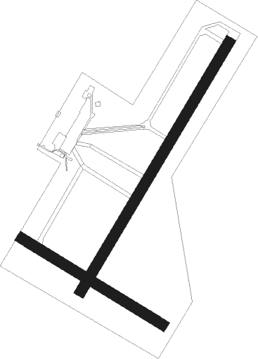
Texel
Airport details
| Country | Netherlands |
| State | North Holland |
| Region | EH |
| Airspace | Amsterdam Ctr |
| Municipality | De Cocksdorp |
| Elevation | 0ft (0m) |
| Timezone | GMT +1 |
| Coordinates | 53.11601, 4.82700 |
| Magnetic var | |
| Type | land |
| Available since | X-Plane v10.40 |
| ICAO code | EHTX |
| IATA code | n/a |
| FAA code | n/a |
Communication
| Texel Texel Radio | 119.300 |
| Texel Dutch Mil | 132.350 |
Nearby Points of Interest:
Hervormde Kerk, Oosterend
-Nederlands Hervormde Kerk, De Koog
-T-vormige schuilkerk
-Hervormde kerk, Den Burg
-Wezenputten
-Hervormde kerk, Oudeschild
-Royal Netherlands Naval College
-Willemsoord, Den Helder
-Nieuwe Kerk
-Gerechtsgebouw
-Monument voor het Reddingswezen (Den Helder)
-Onze-Lieve-Vrouw-Onbevlekt-Ontvangenkerk
-Fort Westoever
-Afsluitdijk and Stevinsluizen in Den Oever
-Dorpsstraat 148, Vlieland
-Duinkersoord 33, Vlieland
-Nicolaaskerk
-Hervormde kerk (Wieringerwaard)
-Railway station Wieringerwaard
-Hervormde Kerk
-Gemeenschapsgebouw Slootdorp
-Hervormde Kerk, Callantsoog
-Lorentzsluizen
-Nederlands Hervormde Kerk, Schagen
-Laan 23, Schagen

Nearby beacons
| code | identifier | dist | bearing | frequency |
|---|---|---|---|---|
| HDR | HELDER DME | 12.7 | 196° | 115.55 |
| LWD | LEEUWARDEN TACAN | 33.9 | 83° | 114.70 |
| SPY | DME | 34.5 | 177° | 113.30 |
| FRO | DME | 46.9 | 134° | 111.40 |
| SPL | SCHIPHOL (AMSTERDAM) VOR/DME | 47.1 | 186° | 108.40 |
| AMS | DME | 47.2 | 189° | 113.95 |
| PAM | PAMPUS VOR/DME | 47.9 | 161° | 117.80 |
Disclaimer
The information on this website is not for real aviation. Use this data with the X-Plane flight simulator only! Data taken with kind consent from X-Plane 12 source code and data files. Content is subject to change without notice.