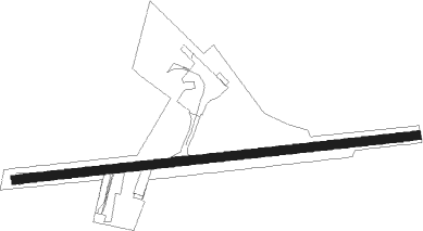
Abbeyshrule
Airport details
| Country | Ireland |
| State | County Longford |
| Region | EI |
| Airspace | Shannon Ctr |
| Municipality | Ballymahon Municipal District |
| Elevation | 187ft (57m) |
| Timezone | GMT +0 |
| Coordinates | 53.59139, -7.64278 |
| Magnetic var | |
| Type | land |
| Available since | X-Plane v10.30 |
| ICAO code | EIAB |
| IATA code | n/a |
| FAA code | n/a |
Communication
| Abbeyshrule AbbeyShrule Information | 122.600 |
Nearby Points of Interest:
Bealin High Cross
-Taghmon Church
-Clonfinlough Stone
-Gallen Priory
-Loughcrew
Nearby beacons
| code | identifier | dist | bearing | frequency |
|---|---|---|---|---|
| WTP | DME | 29.8 | 174° | 116.30 |
| MCM | DME | 32.5 | 67° | 114.40 |
| SLG | SLIGO NDB | 53.3 | 306° | 384 |
| SLG | DME | 53.4 | 306° | 109 |
Disclaimer
The information on this website is not for real aviation. Use this data with the X-Plane flight simulator only! Data taken with kind consent from X-Plane 12 source code and data files. Content is subject to change without notice.