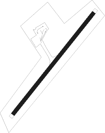
Inverin - Connemara
Airport details
| Country | Ireland |
| State | County Galway |
| Region | EI |
| Airspace | Shannon Ctr |
| Municipality | Conamara Municipal District |
| Elevation | 41ft (12m) |
| Timezone | GMT +0 |
| Coordinates | 53.23056, -9.46833 |
| Magnetic var | |
| Type | land |
| Available since | X-Plane v10.40 |
| ICAO code | EICA |
| IATA code | NNR |
| FAA code | NNR |
Communication
| Connemara Connemara | 123.000 |
Nearby Points of Interest:
The Burren
Nearby beacons
| code | identifier | dist | bearing | frequency |
|---|---|---|---|---|
| OL | SHANNON NDB | 37.1 | 127° | 339 |
| SHA | SHANNON VOR/DME | 37.1 | 131° | 113.30 |
| FOY | FOYNES NDB | 41.1 | 158° | 395 |
| KNK | CONNAUGHT NDB | 44.2 | 39° | 364 |
| CON | CONNAUGHT VOR/DME | 46.7 | 44° | 117.40 |
| OK | CONNAUGHT NDB | 49.8 | 48° | 398 |
Disclaimer
The information on this website is not for real aviation. Use this data with the X-Plane flight simulator only! Data taken with kind consent from X-Plane 12 source code and data files. Content is subject to change without notice.