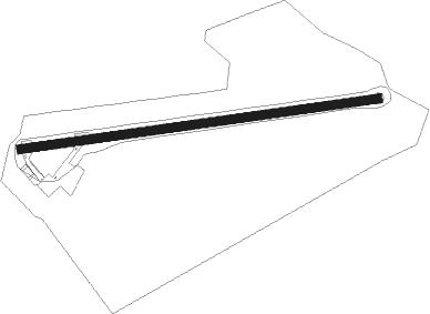
Limerick - Coonagh
Airport details
| Country | Ireland |
| State | County Limerick |
| Region | EI |
| Airspace | Shannon Ctr |
| Municipality | Limerick |
| Elevation | 5ft (2m) |
| Timezone | GMT +0 |
| Coordinates | 52.66639, -8.68194 |
| Magnetic var | |
| Type | land |
| Available since | X-Plane v10.40 |
| ICAO code | EICN |
| IATA code | n/a |
| FAA code | n/a |
Communication
| Coonagh Coonagh Radio | 129.900 |
Nearby Points of Interest:
Shantraud Ogham-Runic Stone
-The Burren
Nearby beacons
| code | identifier | dist | bearing | frequency |
|---|---|---|---|---|
| OL | SHANNON NDB | 7.1 | 300° | 339 |
| SHA | SHANNON VOR/DME | 8 | 285° | 113.30 |
| FOY | FOYNES NDB | 19.6 | 259° | 395 |
| KER | KERRY NDB | 42.4 | 240° | 334 |
| CRK | CORK VOR/DME | 50 | 167° | 114.60 |
Disclaimer
The information on this website is not for real aviation. Use this data with the X-Plane flight simulator only! Data taken with kind consent from X-Plane 12 source code and data files. Content is subject to change without notice.