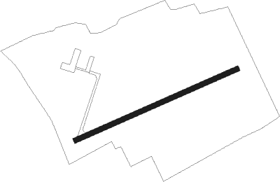
Gormanston
Airport details
| Country | Ireland |
| State | County Meath |
| Region | EI |
| Airspace | Shannon Ctr |
| Municipality | The Municipal District of Laytown — Bett |
| Elevation | 66ft (20m) |
| Timezone | GMT +0 |
| Coordinates | 53.64537, -6.23007 |
| Magnetic var | |
| Type | land |
| Available since | X-Plane v10.40 |
| ICAO code | EIGM |
| IATA code | n/a |
| FAA code | n/a |
Communication
Nearby Points of Interest:
Balrath Cross
-Hill of Tara
-Dromiskin Monastery
-St. Mary's Abbey, Dublin
-St. Columb's House
Nearby beacons
| code | identifier | dist | bearing | frequency |
|---|---|---|---|---|
| GMN | DME | 0.1 | 287° | 112.90 |
| GMN | GORMANSTON NDB | 0.2 | 51° | 334 |
| DUB | DUBLIN VOR/DME | 9.1 | 208° | 114.90 |
| DAP | COLLINSTOWN VOR/DME | 13.5 | 198° | 111.20 |
| OP | DUBLIN NDB | 14.2 | 158° | 397 |
| OE | DUBLIN NDB | 14.7 | 223° | 316 |
| BAL | BALDONNEL VOR/DME | 22.1 | 212° | 115.80 |
| KLY | KILLINEY NDB | 22.9 | 162° | 378 |
| MCM | DME | 28.6 | 292° | 114.40 |
| GTG | DME | 47.6 | 174° | 114.15 |
| HB | BELFAST CITY NDB | 59.9 | 20° | 420 |
Disclaimer
The information on this website is not for real aviation. Use this data with the X-Plane flight simulator only! Data taken with kind consent from X-Plane 12 source code and data files. Content is subject to change without notice.