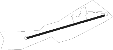
Kilkenny
Airport details
| Country | Ireland |
| State | County Kilkenny |
| Region | EI |
| Airspace | Shannon Ctr |
| Municipality | The Municipal District of Kilkenny City |
| Elevation | 298ft (91m) |
| Timezone | GMT +0 |
| Coordinates | 52.65083, -7.29617 |
| Magnetic var | |
| Type | land |
| Available since | X-Plane v10.40 |
| ICAO code | EIKK |
| IATA code | KKY |
| FAA code | n/a |
Communication
| Kilkenny Kilkenny Traffic | 122.900 |
Nearby Points of Interest:
Killamery High Cross
-Nurney Cross
-Kilkieran High Crosses
Nearby beacons
| code | identifier | dist | bearing | frequency |
|---|---|---|---|---|
| CML | CLONMEL NDB | 13.6 | 223° | 387 |
| WTP | DME | 28.7 | 326° | 116.30 |
| WTD | WATERFORD NDB | 28.8 | 155° | 368 |
| BAL | BALDONNEL VOR/DME | 49.6 | 53° | 115.80 |
| OE | DUBLIN NDB | 56.3 | 48° | 316 |
| DAP | COLLINSTOWN VOR/DME | 58.6 | 52° | 111.20 |
| DUB | DUBLIN VOR/DME | 62.2 | 49° | 114.90 |
Disclaimer
The information on this website is not for real aviation. Use this data with the X-Plane flight simulator only! Data taken with kind consent from X-Plane 12 source code and data files. Content is subject to change without notice.