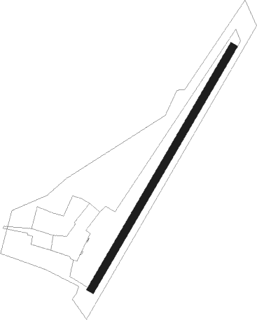
Dunshaughlin - Trevet
Airport details
| Country | Ireland |
| State | County Meath |
| Region | EI |
| Airspace | Shannon Ctr |
| Municipality | The Municipal District of Ashbourne |
| Elevation | 382ft (116m) |
| Timezone | GMT +0 |
| Coordinates | 53.54361, -6.53194 |
| Magnetic var | |
| Type | land |
| Available since | X-Plane v10.40 |
| ICAO code | EITT |
| IATA code | n/a |
| FAA code | n/a |
Communication
Nearby Points of Interest:
Hill of Tara
-Balrath Cross
-St. Mary's Abbey, Dublin
-St. Columb's House
-St. Mark's Cross
-Dromiskin Monastery
Nearby beacons
| code | identifier | dist | bearing | frequency |
|---|---|---|---|---|
| OE | DUBLIN NDB | 7.7 | 138° | 316 |
| DUB | DUBLIN VOR/DME | 8.4 | 101° | 114.90 |
| DAP | COLLINSTOWN VOR/DME | 10.9 | 118° | 111.20 |
| GMN | DME | 12.2 | 71° | 112.90 |
| GMN | GORMANSTON NDB | 12.5 | 71° | 334 |
| BAL | BALDONNEL VOR/DME | 14.9 | 161° | 115.80 |
| OP | DUBLIN NDB | 16 | 108° | 397 |
| KLY | KILLINEY NDB | 22.4 | 123° | 378 |
| MCM | DME | 25.6 | 315° | 114.40 |
| GTG | DME | 43.7 | 151° | 114.15 |
Disclaimer
The information on this website is not for real aviation. Use this data with the X-Plane flight simulator only! Data taken with kind consent from X-Plane 12 source code and data files. Content is subject to change without notice.