Waterford
Airport details
| Country | Ireland |
| State | County Waterford |
| Region | EI |
| Airspace | Shannon Ctr |
| Municipality | Waterford City Metropolitan District |
| Elevation | 119ft (36m) |
| Timezone | GMT +0 |
| Coordinates | 52.19097, -7.07904 |
| Magnetic var | |
| Type | land |
| Available since | X-Plane v10.40 |
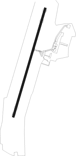
| ICAO code | EIWF |
| IATA code | WAT |
| FAA code | n/a |
Communication
| Waterford Waterford ATIS | 121.150 |
| Waterford Waterford Ground Control | 121.600 |
| Waterford Waterford Tower | 129.850 |
Approach frequencies
| ILS-cat-I | RW21 | 110.9 | 18.00mi |
| 3.2° GS | RW21 | 110.9 | 18.00mi |
Nearby Points of Interest:
Kilkieran High Crosses
-Killamery High Cross
Nearby beacons
| code | identifier | dist | bearing | frequency |
|---|---|---|---|---|
| WTD | WATERFORD NDB | 0.1 | 245° | 368 |
| CML | CLONMEL NDB | 21.5 | 303° | 387 |
| GTG | DME | 52.3 | 55° | 114.15 |
| WTP | DME | 57.4 | 330° | 116.30 |
Disclaimer
The information on this website is not for real aviation. Use this data with the X-Plane flight simulator only! Data taken with kind consent from X-Plane 12 source code and data files. Content is subject to change without notice.