Varde
Airport details
| Country | Denmark |
| State | Region of Southern Denmark |
| Region | |
| Airspace | Copenhagen Ctr |
| Municipality | Varde Municipality |
| Elevation | 34ft (10m) |
| Timezone | GMT +1 |
| Coordinates | 55.60834, 8.43792 |
| Magnetic var | |
| Type | land |
| Available since | X-Plane v10.40 |
| ICAO code | EK49 |
| IATA code | n/a |
| FAA code | n/a |
Communication
Nearby Points of Interest:
Horne Stone
-Bethania Mission House
-Courthouse and Jail
-Esbjerg Posthus
-Ådum-stenen
-Tirslund Rock
-Ribe Gamle Arresthus
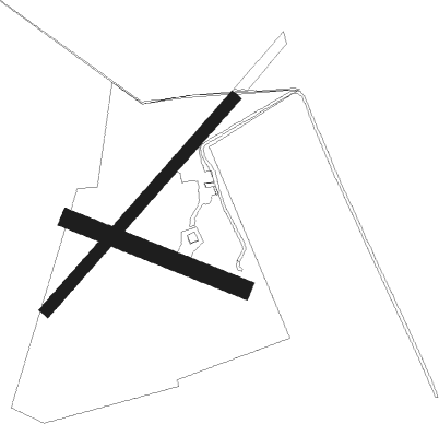
Runway info
Runway 11 / 29  | ||
| length | 466m (1529ft) | |
| bearing | 105° / 285° | |
| width | 45m (148ft) | |
| surface | grass | |
| Runway 4 / 22 | ||
| length | 706m (2316ft) | |
| bearing | 61° / 241° | |
| width | 30m (98ft) | |
| surface | grass | |
Nearby beacons
| code | identifier | dist | bearing | frequency |
|---|---|---|---|---|
| HP | ESBJERG NDB | 5.8 | 195° | 376 |
| ESE | DME | 6.5 | 125° | 116.60 |
| EJ | ESBJERG NDB | 9.7 | 104° | 400 |
| VJ | STAUNING NDB | 22.8 | 358° | 328 |
| LME | DME | 23.2 | 348° | 115.35 |
| AU | STAUNING NDB | 23.3 | 343° | 346 |
| KD | KOLDING NDB | 32 | 100° | 357 |
| VAM | DME | 32.1 | 101° | 110.05 |
| SKR | VOJENS/SKRYDSTRUP VORTAC | 34.9 | 116° | 110.40 |
| VO | VOJENS/SKRYDSTRUP NDB | 36.6 | 115° | 321 |
| WES | DME-ILS | 42 | 188° | 111.50 |
| SLT | WESTERLAND/SYLT NDB | 45.1 | 182° | 387 |
| KAR | KARUP TACAN | 45.5 | 40° | 110 |
| RAM | DME | 52.9 | 344° | 111.85 |
Disclaimer
The information on this website is not for real aviation. Use this data with the X-Plane flight simulator only! Data taken with kind consent from X-Plane 12 source code and data files. Content is subject to change without notice.