Avedoere
Airport details
| Country | Denmark |
| State | Capital Region of Denmark |
| Region | EK |
| Airspace | Copenhagen Ctr |
| Municipality | Hvidovre Municipality |
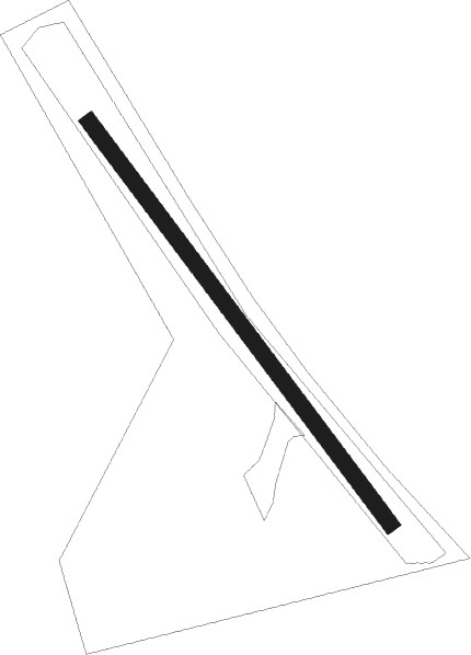
| Elevation | 13ft (4m) |
| Timezone | GMT +1 |
| Coordinates | 55.62093, 12.44144 |
| Magnetic var | |
| Type | land |
| Available since | X-Plane v10.32 |
| ICAO code | EK55 |
| IATA code | n/a |
| FAA code | n/a |
Communication
| Avedoere Kastrup Tower | 118.700 |
Nearby Points of Interest:
Rødovre Town Hall
-K.B. Hallen
-Carlsberg Laboratory
-Elephant Gate and Tower, Carlsberg
-Vega
-Lorry
-Tvedes Bryggeri
-Christen Vestbergs og Jørgen Tvedes Stiftelse
-Hassagers Kollegium
-4. Maj Kollegiet
-P. Andersens Vandtårn
-Suhrs Friboliger
-Skomagersvendebroderskabets Stiftelse
-Abel Cathrines Stiftelse
-Øksnehallen
-Strygejernet
-Kvægtorvet
-Rolighed
-Linoleumshuset
-Radiohuset
-Copenhagen Police Headquarters
-Copenhagen Waterworks
-Tegne- og Kunstindustriskolen for Kvinder
-Dannerhuset
-Vester Voldgade 19
Nearby beacons
| code | identifier | dist | bearing | frequency |
|---|---|---|---|---|
| KAS | KASTRUP (COPENHAGEN) VOR/DME | 6.1 | 100° | 112.50 |
| RK | ROSKILDE (COPENHAGEN) NDB | 15 | 270° | 368 |
| BEL | DME | 15.5 | 296° | 114.65 |
| KOR | KORSA VOR/DME | 29.6 | 257° | 112.80 |
| SUP | STURUP (MALMO) VOR/DME | 32.2 | 95° | 113 |
| SVD | DME | 33.2 | 14° | 116.20 |
| CDA | CODAN VOR/DME | 37.2 | 186° | 114.90 |
| LJU | LJUNGBYHED VOR/DME | 37.7 | 59° | 113.40 |
| AH | ANGELHOLM NDB | 41.7 | 35° | 417 |
| LB | ANGELHOLM NDB | 44.9 | 24° | 370 |
Disclaimer
The information on this website is not for real aviation. Use this data with the X-Plane flight simulator only! Data taken with kind consent from X-Plane 12 source code and data files. Content is subject to change without notice.