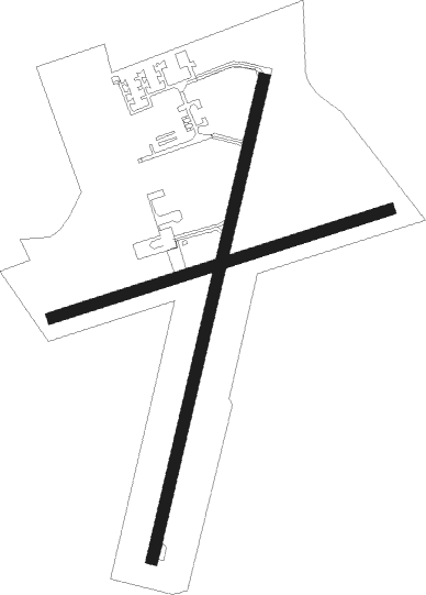
Kolding / Vamdrup - Kolding Vamdrup
Airport details
| Country | Denmark |
| State | Region of Southern Denmark |
| Region | EK |
| Airspace | Copenhagen Ctr |
| Municipality | Kolding |
| Elevation | 143ft (44m) |
| Timezone | GMT +1 |
| Coordinates | 55.43628, 9.33092 |
| Magnetic var | |
| Type | land |
| Available since | X-Plane v10.40 |
| ICAO code | EKVD |
| IATA code | n/a |
| FAA code | n/a |
Communication
| Kolding Vamdrup VAMDRUP AFIS | 120.500 |
| Kolding Vamdrup SKRYDSTRUP Approach | 127.475 |
Nearby Points of Interest:
Helligkorsgade 18
-Christinero
-Eltang stone
-Hamborggård stone
-Egtved Runestone
-Tirslund Rock
-Krudttårnet
-Ribe Gamle Arresthus
-Assens station
-Billeskov
-Little Belt

Nearby beacons
| code | identifier | dist | bearing | frequency |
|---|---|---|---|---|
| VAM | DME | 0.1 | 66° | 110.05 |
| KD | KOLDING NDB | 0.4 | 29° | 357 |
| VO | VOJENS/SKRYDSTRUP NDB | 12.8 | 195° | 321 |
| SKR | VOJENS/SKRYDSTRUP VORTAC | 13 | 209° | 110.40 |
| EJ | ESBJERG NDB | 22.3 | 279° | 400 |
| ESE | DME | 26.7 | 276° | 116.60 |
| HP | ESBJERG NDB | 31.5 | 275° | 376 |
| ALS | ALSIE VOR | 39.1 | 129° | 114.70 |
| VJ | STAUNING NDB | 45.1 | 301° | 328 |
| WES | DME-ILS | 46.3 | 242° | 111.50 |
| LME | DME | 46.9 | 300° | 115.35 |
| SLT | WESTERLAND/SYLT NDB | 47 | 238° | 387 |
| KAR | KARUP TACAN | 52.8 | 339° | 110 |
| SWG | SCHLESWIG TACAN | 58.7 | 169° | 111.80 |
Instrument approach procedures
| runway | airway (heading) | route (dist, bearing) |
|---|---|---|
| RW01 | EBURU (54°) | EBURU 2300ft VD013 (3mi, 100°) 1600ft |
| RW01 | GEMRO (354°) | GEMRO 2300ft VD013 (3mi, 280°) 1600ft |
| RW01 | ROSRA (29°) | ROSRA 2300ft VD013 (3mi, 29°) 1600ft |
| RNAV | VD013 1600ft VD012 (3mi, 29°) 1500ft EKVD (4mi, 29°) 179ft VD014 (3mi, 29°) KD (2mi, 209°) KD (turn) 2300ft | |
| RW19 | ABIVA (235°) | ABIVA 2300ft VD194 (3mi, 280°) 1700ft |
| RW19 | GOVOV (173°) | GOVOV 2300ft VD194 (3mi, 100°) 1700ft |
| RW19 | LODBA (209°) | LODBA 2300ft VD194 (3mi, 209°) 1700ft |
| RNAV | VD194 1700ft VD193 (3mi, 209°) 1500ft VD191 (4mi, 209°) 286ft VD195 (3mi, 209°) ABIVA (10mi, 51°) ABIVA (turn) 2300ft |
Disclaimer
The information on this website is not for real aviation. Use this data with the X-Plane flight simulator only! Data taken with kind consent from X-Plane 12 source code and data files. Content is subject to change without notice.