Innisfail
Airport details
| Country | Canada |
| State | Alberta |
| Region | CY |
| Airspace | Edmonton Ctr |
| Municipality | Red Deer County |
| Elevation | 3017ft (920m) |
| Timezone | GMT -7 |
| Coordinates | 52.07861, -114.02750 |
| Magnetic var | |
| Type | land |
| Available since | X-Plane v10.40 |
| ICAO code | EM4 |
| IATA code | n/a |
| FAA code | n/a |
Communication
| Innisfail CTAF | 123.000 |
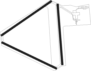
Runway info
Runway 04 / 22  | ||
| length | 901m (2956ft) | |
| bearing | 70° / 250° | |
| width | 30m (100ft) | |
| surface | asphalt | |
| Runway 10 / 28 | ||
| length | 898m (2946ft) | |
| bearing | 110° / 290° | |
| width | 30m (100ft) | |
| surface | asphalt | |
| Runway 16 / 34 | ||
| length | 901m (2956ft) | |
| bearing | 180° / 0° | |
| width | 30m (100ft) | |
| surface | asphalt | |
Nearby beacons
| code | identifier | dist | bearing | frequency |
|---|---|---|---|---|
| YQF | RED DEER NDB | 5.5 | 69° | 320 |
| 6G | DEER DME | 8.1 | 55° | 113.80 |
| K2 | OLDS-DIDSBURY NDB | 22.3 | 192° | 376 |
| 9G | SUNDRE NDB | 30.1 | 246° | 405 |
| D3 | PONOKA INDUS NDB | 39.4 | 35° | 363 |
| YYC | CALGARY VOR/DME | 58.1 | 171° | 116.70 |
Disclaimer
The information on this website is not for real aviation. Use this data with the X-Plane flight simulator only! Data taken with kind consent from X-Plane 12 source code and data files. Content is subject to change without notice.