Swan Hills
Airport details
| Country | Canada |
| State | Alberta |
| Region | |
| Airspace | Edmonton Ctr |
| Municipality | Big Lakes County |
| Elevation | 3473ft (1059m) |
| Timezone | GMT -7 |
| Coordinates | 54.67423, -115.42366 |
| Magnetic var | |
| Type | land |
| Available since | X-Plane v10.40 |
| ICAO code | EM5 |
| IATA code | n/a |
| FAA code | n/a |
Communication
| Swan Hills CTAF | 123.200 |
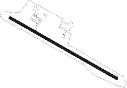
Runway info
| Runway 11 / 29 | ||
| length | 1368m (4488ft) | |
| bearing | 111° / 291° | |
| width | 30m (100ft) | |
| surface | asphalt | |
Nearby beacons
| code | identifier | dist | bearing | frequency |
|---|---|---|---|---|
| 4O | SWAN HILLS NDB | 0 | 314° | 251 |
| YZU | WHITECOURT VOR/DME | 34.3 | 215° | 112.50 |
Disclaimer
The information on this website is not for real aviation. Use this data with the X-Plane flight simulator only! Data taken with kind consent from X-Plane 12 source code and data files. Content is subject to change without notice.