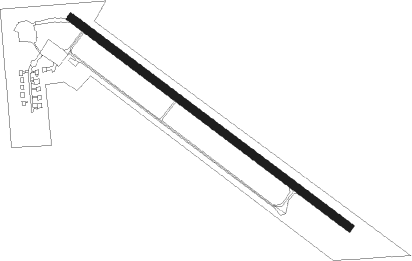
Three Hills
Airport details
| Country | Canada |
| State | Alberta |
| Region | CY |
| Airspace | Edmonton Ctr |
| Municipality | Kneehill County |
| Elevation | 2975ft (907m) |
| Timezone | GMT -7 |
| Coordinates | 51.69667, -113.20917 |
| Magnetic var | |
| Type | land |
| Available since | X-Plane v10.40 |
| ICAO code | EN3 |
| IATA code | n/a |
| FAA code | n/a |
Communication
| Three Hills Traffic | 123.200 |
Nearby beacons
| code | identifier | dist | bearing | frequency |
|---|---|---|---|---|
| K2 | OLDS-DIDSBURY NDB | 33.4 | 271° | 376 |
| YQF | RED DEER NDB | 36.4 | 302° | 320 |
| 6G | DEER DME | 38.3 | 306° | 113.80 |
| YYC | CALGARY VOR/DME | 43 | 229° | 116.70 |
| D3 | PONOKA INDUS NDB | 61 | 338° | 363 |
Disclaimer
The information on this website is not for real aviation. Use this data with the X-Plane flight simulator only! Data taken with kind consent from X-Plane 12 source code and data files. Content is subject to change without notice.